
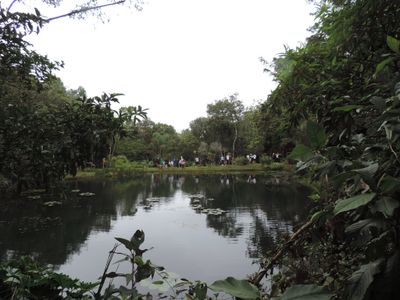
Casa Grande, town and municipality in the state of Minas Gerais, Brazil
Location: Minas Gerais
Elevation above the sea: 1,011 m
Shares border with: Entre Rios de Minas, Carandaí, Cristiano Otoni, Lagoa Dourada, Queluzito
Website: http://casagrande.mg.gov.br
GPS coordinates: -20.79278,-43.93000
Latest update: April 18, 2025 11:52

Sanctuary of Bom Jesus de Matosinhos
32.5 km
Parish Church of Saint Antony
43.8 km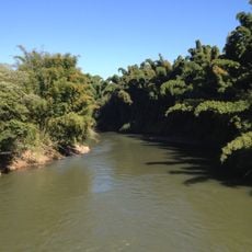
Rio das Mortes
48.8 km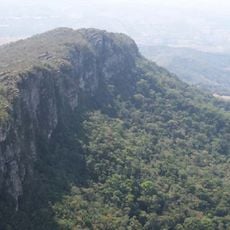
Serra de São José
38.2 km
Church of Our Lady of the Rosary
43.6 km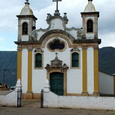
Parish Church of Saint Antony
39.1 km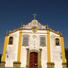
Sanctuary of the Holy Trinity
44.3 km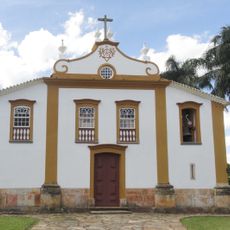
Church of Our Lady of Mercy of the Creoles
43.2 km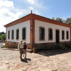
Museu de Sant'Ana
43.6 km
Casa de Pedra do Gambá
28.3 km
Chapel of Good Jesus of the Poor
43.5 km
Fortim dos Bandeirantes
28.3 km
Casa do Padre Toledo
43.7 km
Castelo Branco statue
44.3 km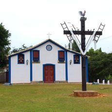
Saint Francis of Paola Chapel
43.4 km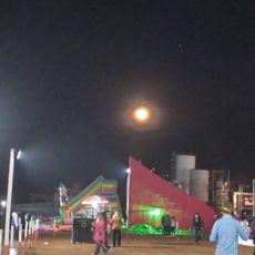
Parque de Exposições
381 m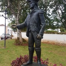
Memorial to the tricentennial of the foundation of Tiradentes city
43.7 km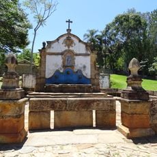
Chafariz de São José
43.4 km
Igreja Matriz de Nossa Senhora da Conceição
33.3 km
Museu de Congonhas
32.6 km
Parish Church of Our Lady of the Conception
33.4 km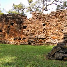
Pombal Farm Sugarcane Mill
46.4 km
Museu do Automóvel da Estrada Real
39.8 km
Museu da Liturgia
43.6 km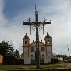
Our Lady of Peñafrancia church, Prados
39.6 km
Cine Ritz Lafaiete
20.7 km
Parque de Exposições Gastão de Azevedo Cardoso
33.5 km
Historic town center of Tiradentes
43.7 kmReviews
Visited this place? Tap the stars to rate it and share your experience / photos with the community! Try now! You can cancel it anytime.
Discover hidden gems everywhere you go!
From secret cafés to breathtaking viewpoints, skip the crowded tourist spots and find places that match your style. Our app makes it easy with voice search, smart filtering, route optimization, and insider tips from travelers worldwide. Download now for the complete mobile experience.

A unique approach to discovering new places❞
— Le Figaro
All the places worth exploring❞
— France Info
A tailor-made excursion in just a few clicks❞
— 20 Minutes