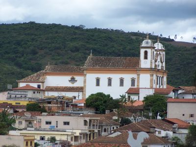
Caeté, Municipality in Minas Gerais, Brazil
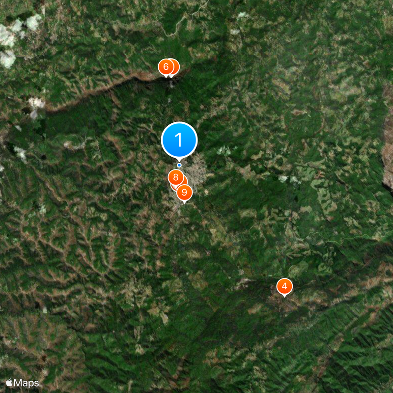
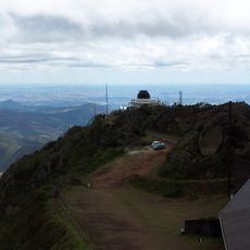
Caeté is a municipality in Minas Gerais, Brazil, situated at elevation in the southeastern part of the state. The town sits within a region that includes a major national park with diverse natural areas.
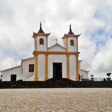
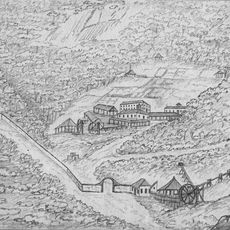
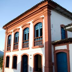
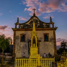
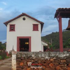
The town was founded in the early 1700s when mining became the main economic activity in this region. The development during colonial times established the foundations that shaped its growth.
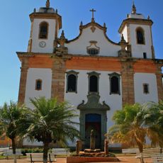
The town serves as a gathering place where residents celebrate their roots through local festivals and community events throughout the year. These occasions show how people here keep their traditions alive in their daily lives.
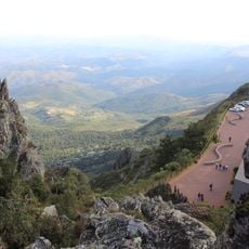
A major national park sits within the town's boundaries and offers trails and spaces for exploring the natural landscape. Visitors should be prepared for the mountainous terrain and cooler weather at this elevation.
The name comes from an ancient indigenous language and refers to plants that grow naturally in this area. This linguistic connection reveals the indigenous roots of the place.
The community of curious travelers
AroundUs brings together thousands of curated places, local tips, and hidden gems, enriched daily by 60,000 contributors worldwide.