
Raposos, municipality of Brazil
Location: Minas Gerais
Elevation above the sea: 759 m
Shares border with: Nova Lima, Caeté, Rio Acima, Sabará
Website: https://raposos.mg.gov.br
GPS coordinates: -19.96694,-43.80389
Latest update: April 22, 2025 23:56
Serra do Curral
11.1 km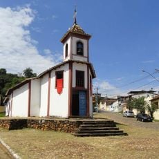
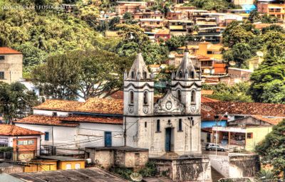
Church of Our Lady of Ó
9.2 km
Palácio das Mangabeiras
11.5 km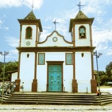
Parish Church of Our Lady of the Conception
9.1 km
Estádio Castor Cifuentes
4.8 km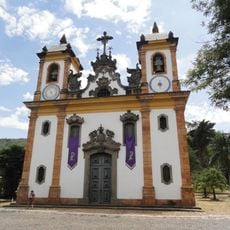
Church of Our Lady of Mount Carmel
8.6 km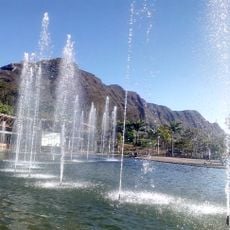
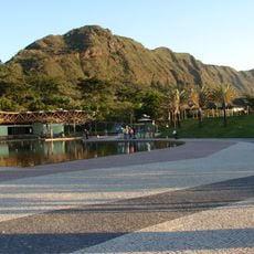
Mangabeiras Park
10.7 km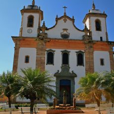
Parish Church of Our Lady of Good Success
15.9 km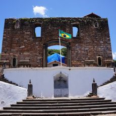
Church of Our Lady of the Rosary of Black Men (Sabará)
8.6 km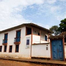
Former Gold Assaying Office and Royal Foundry (Gold Museum)
8.7 km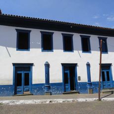
Teatro Municipal
8.5 km
Mirante do Mangabeiras
11.5 km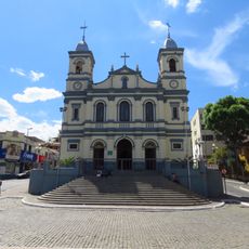
Igreja Matriz de Nossa Senhora do Pilar
5 km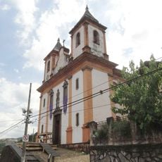
Church of the Archbrotherhood of Saint Francis of Assisi
8.5 km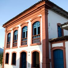
Museu Regional de Caeté
16 km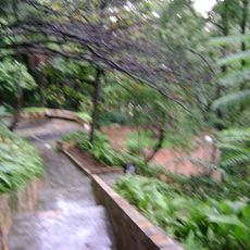
Julien Rien Park
12.9 km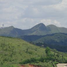
Mata do Jambreiro Biological Reserve
10.7 km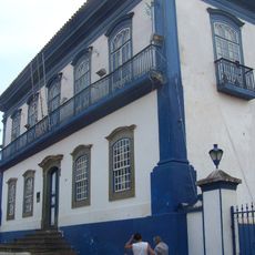
Solar do Padre Correia
8.3 km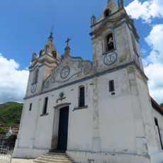
Parish Church of Our Lady of the Conception
107 m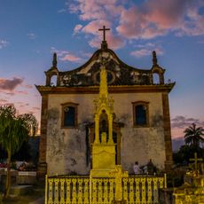
Igreja de Nossa Senhora do Rosário
15.9 km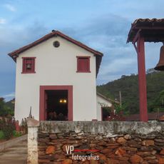
Chapel of Saint Anthony of Padua in Pompeu
11.7 km
Serra do Curral park
12.1 km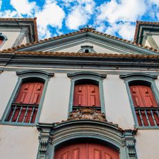
Igreja Matriz de Nossa Senhora de Nazaré
11 km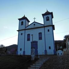
Igreja de Nossa Senhora das Mercês
8.6 km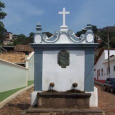
Chafariz do Caquende
8.3 km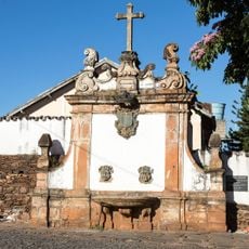
Chafariz do Rosário
8.6 km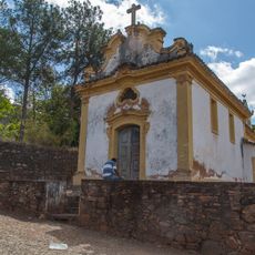
Capela de Nossa Senhora do Pilar
8.7 km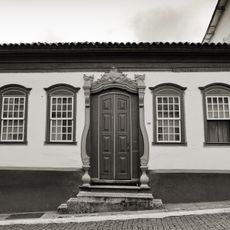
Casa Azul
8.4 kmReviews
Visited this place? Tap the stars to rate it and share your experience / photos with the community! Try now! You can cancel it anytime.
Discover hidden gems everywhere you go!
From secret cafés to breathtaking viewpoints, skip the crowded tourist spots and find places that match your style. Our app makes it easy with voice search, smart filtering, route optimization, and insider tips from travelers worldwide. Download now for the complete mobile experience.

A unique approach to discovering new places❞
— Le Figaro
All the places worth exploring❞
— France Info
A tailor-made excursion in just a few clicks❞
— 20 Minutes