Doce River, River system in southeastern Brazil
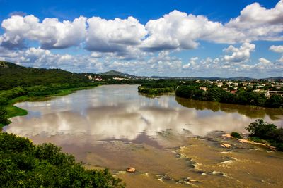
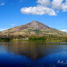
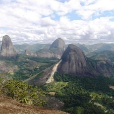
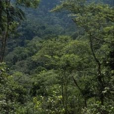
The Doce is a river system in southeastern Brazil that rises in the Mantiqueira range and flows through Minas Gerais and Espírito Santo before reaching the Atlantic coast. Its course runs for roughly 853 km and is joined by numerous tributaries that drain a broad watershed.
During colonial times, the waterway served as a main route for expeditions into the interior, linking coastal settlements with mineral-rich uplands. This connection opened access to resources and shaped the development of entire regions in the Brazilian hinterland.
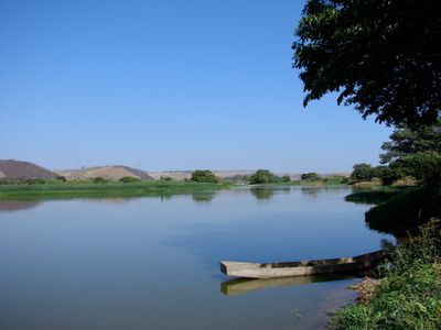
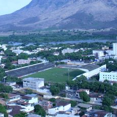
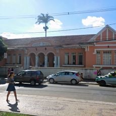
Along the banks, small settlements rely on water for everyday routines: fishermen spread their nets at dawn and families use boats to cross between villages. The flow shapes daily rhythms, and many residents still grow crops on narrow strips of land beside the current.
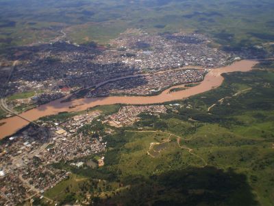
Much of the watershed is shaped by industry and mining, so travelers should check local advice on water quality before visiting. In rural stretches, access roads can be narrow and unpaved, making it useful to ask about road conditions beforehand.
Its name means 'sweet' in Portuguese, though the designation likely refers to the freshwater current rather than any particular taste. This naming echoes older navigational terms used by seafarers who distinguished drinkable rivers from salty estuaries along the coast.
The community of curious travelers
AroundUs brings together thousands of curated places, local tips, and hidden gems, enriched daily by 60,000 contributors worldwide.