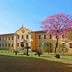
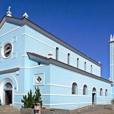
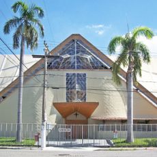
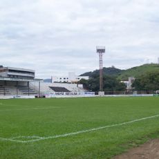
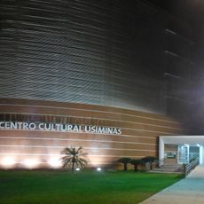
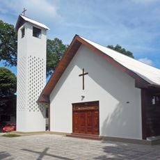
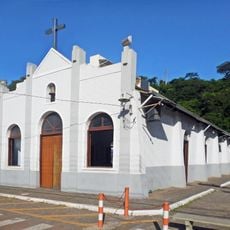
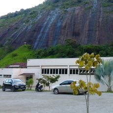
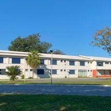
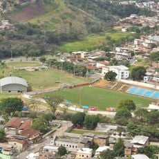
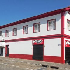
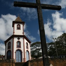
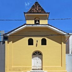
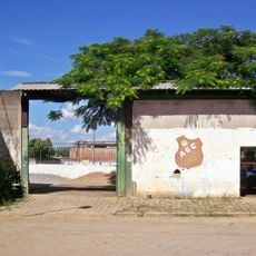
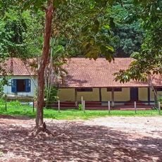
Dionísio, human settlement in Brazil
Location: Minas Gerais
Elevation above the sea: 355 m
Shares border with: São José do Goiabal, Córrego Novo, Marliéria, Pingo-d'Água, Raul Soares, São Domingos do Prata, São Pedro dos Ferros
GPS coordinates: -19.84278,-42.77694
Latest update: May 11, 2025 09:32
Rio Doce State Park
32.9 km
Angélica College
39.3 km
Saint Sebastian Mother Church
38.4 km
Cathedral of san sebastian
29 km
Estádio Louis Ensch
39 km
Centro Cultural Usiminas (Ipatinga, Brazil)
44.2 km
Our Lady of Hope church
43.2 km
Saint Joseph the Worker church
36.4 km
Escola Estadual Professor Pedro Calmon
38.6 km
Cristo da Paz
47.6 km
Serra do Intendente State Park
27.3 km
Shrine of Our Lady of Piety
43.9 km
Carmelo Santíssima Trindade
44.8 km
Grande Hotel Ipatinga
47.4 km
Estádio João Teotônio Ferreira
46.3 km
Sobrado dos Pereira
38.3 km
Paróquia São José da Lagoa
28.7 km
Parque de Exposições
44.8 km
Our Lady Help of Christians chapel
38.7 km
Moviecom Ipatinga
44.4 km
Cine Alvorada
41.2 km
Teatro do Instituto Católico de Minas Gerais
40.5 km
Academia Olguin
43.4 km
Teatro Zélia Olguin
46.4 km
Árvore ficus elástica
47.2 km
Estádio Josemar Soares
40.9 km
Fazendinha
46.2 km
Salão Paroquial Dom Lélis Lara
38.4 kmReviews
Visited this place? Tap the stars to rate it and share your experience / photos with the community! Try now! You can cancel it anytime.
Discover hidden gems everywhere you go!
From secret cafés to breathtaking viewpoints, skip the crowded tourist spots and find places that match your style. Our app makes it easy with voice search, smart filtering, route optimization, and insider tips from travelers worldwide. Download now for the complete mobile experience.
A unique approach to discovering new places❞
— Le Figaro
All the places worth exploring❞
— France Info
A tailor-made excursion in just a few clicks❞
— 20 Minutes