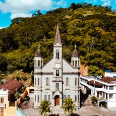
Natividade, Municipality in Rio de Janeiro, Brazil.
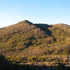
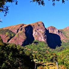
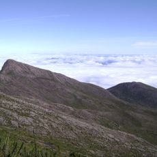
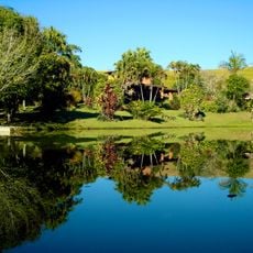
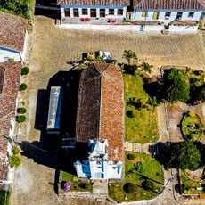
Natividade is a municipal division in Rio de Janeiro state and comprises three districts: Natividade, Ourânia, and Bom Jesus do Querendo. The territory lies at higher elevation and is crossed by the Carangola River.
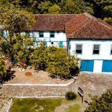
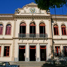
The area was settled in the early 19th century by José de Lannes Dantas Brandão, who focused on coffee cultivation. Official recognition as a municipality came in 1947.
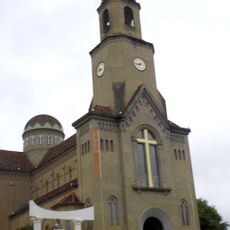
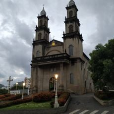
The town celebrates traditional festivals including a Carnival parade with local groups and a passion play during Easter Week performed by residents. These celebrations show how the community keeps its customs and beliefs alive.
The Exfana agricultural fair takes place in June, bringing together farmers, traders, and visitors to showcase regional crops and livestock. This is a good time to experience local agriculture firsthand.
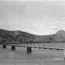
The Carangola River, flowing through the area, is a tributary of the larger Paraíba do Sul River and naturally connects neighboring states. This water link shaped trade and movement between regions for centuries.
Location: Rio de Janeiro
Elevation above the sea: 374 m
Shares border with: Bom Jesus do Itabapoana, Antônio Prado de Minas, Itaperuna, Porciúncula, Varre-Sai
Website: http://natividade.rj.gov.br
GPS coordinates: -21.04194,-41.97278
Latest update: December 7, 2025 20:23
Pico da Bandeira
70 km
Caparaó National Park
67.9 km
Pico do Cristal
68.7 km
Serra do Brigadeiro State Park
61.3 km
Casa de Cultura Roberto Carlos
91.6 km
Mesquita Brasil
58.7 km
Desengano State Park
92 km
Casa dos Braga
92.2 km
Cachoeira da Fumaça State Park
59.8 km
Monument to Christ the Redeemer
43.3 km
Maurílio Coelho Hunting Hoot Factory
91.4 km
Saint Sebastian Cathedral
88.4 km
Teatro Municipal Rubem Braga
91.2 km
Santa Rita Farm
63.1 km
Igreja de Nossa Senhora da Penha
93.7 km
Cine Ritz Cataguases
84.1 km
Ponte Metálica sobre o Rio Paraíba do Sul
71 km
Hotel Cataguases
84.4 km
Main Church of Saint John the Baptist
65.9 km
Festa Nordestina
84.3 km
Pássaros
84.6 km
Núcleo Histórico de São Pedro de Itabapoana
49.6 km
Cine Ritz Perim Center
87.5 km
Sítio Histórico de Muqui
66 km
Mulher
84.4 km
Palácio Bernardino Monteiro
92 km
Historic town center of Cataguases
84.4 km
Cine Unimed
90.7 kmVisited this place? Tap the stars to rate it and share your experience / photos with the community! Try now! You can cancel it anytime.
Discover hidden gems everywhere you go!
From secret cafés to breathtaking viewpoints, skip the crowded tourist spots and find places that match your style. Our app makes it easy with voice search, smart filtering, route optimization, and insider tips from travelers worldwide. Download now for the complete mobile experience.
A unique approach to discovering new places❞
— Le Figaro
All the places worth exploring❞
— France Info
A tailor-made excursion in just a few clicks❞
— 20 Minutes