
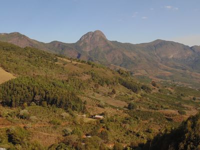
Dores do Rio Preto, municipality of Brazil
Location: Espírito Santo
Inception: 1964
Elevation above the sea: 55 m
Website: http://www.domingosmartins.es.gov.br
Shares border with: Guaçuí, Espera Feliz, Alto Caparaó, Caiana, Divino de São Lourenço, Ibitirama, Porciúncula
Website: http://domingosmartins.es.gov.br
GPS coordinates: -20.68889,-41.84500
Latest update: March 28, 2025 01:03

Pico da Bandeira
28.7 km
Pedra Azul State Park
91 km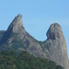
Frade e a Freira Natural Monument
90.8 km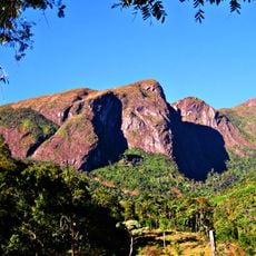
Caparaó National Park
26.5 km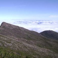
Pico do Cristal
27.5 km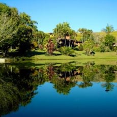
Serra do Brigadeiro State Park
62.8 km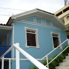
Casa de Cultura Roberto Carlos
77.9 km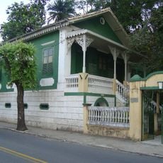
Casa dos Braga
78.7 km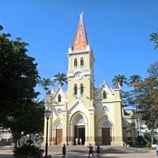
St. John the Baptist Cathedral, Caratinga
104.7 km
Forno Grande State Park
79.6 km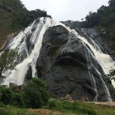
Cachoeira da Fumaça State Park
25.9 km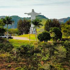
Monument to Christ the Redeemer
20.3 km
Maurílio Coelho Hunting Hoot Factory
77.1 km
Museu do Tropeiro José Salomão Fadlalah
61.3 km
Mata das Flores State Park
70.8 km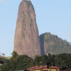
Itabira Natural Monument
83.1 km
Fazenda do Centro
72.7 km
Teatro Municipal Rubem Braga
77.4 km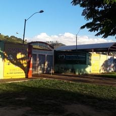
Parque de Exposições
90.7 km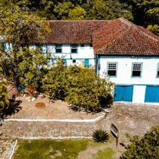
Santa Rita Farm
59.5 km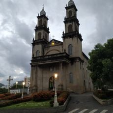
Igreja de Nossa Senhora da Penha
67.4 km
Main Church of Saint John the Baptist
59.6 km
Cine Ritz Perim Center
73.5 km
Sítio Histórico de Muqui
59.6 km
Núcleo Histórico de São Pedro de Itabapoana
56.2 km
Palácio Bernardino Monteiro
78.3 km
Conjunto Arquitetônico e Urbanístico da Praça Cesário Alvim
104.7 km
Cine Unimed
77.5 kmReviews
Visited this place? Tap the stars to rate it and share your experience / photos with the community! Try now! You can cancel it anytime.
Discover hidden gems everywhere you go!
From secret cafés to breathtaking viewpoints, skip the crowded tourist spots and find places that match your style. Our app makes it easy with voice search, smart filtering, route optimization, and insider tips from travelers worldwide. Download now for the complete mobile experience.

A unique approach to discovering new places❞
— Le Figaro
All the places worth exploring❞
— France Info
A tailor-made excursion in just a few clicks❞
— 20 Minutes