
Brejetuba, municipality in the state of Espírito Santo in Brazil
Location: Espírito Santo
Elevation above the sea: 887 m
Shares border with: Afonso Cláudio, Aimorés, Conceição do Castelo, Ibatiba, Lajinha, Muniz Freire, Mutum
GPS coordinates: -20.14583,-41.29000
Latest update: March 21, 2025 23:43

Pico da Bandeira
61.8 km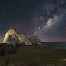
Pedra Azul State Park
40.8 km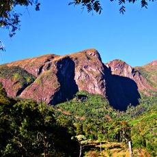
Caparaó National Park
62.2 km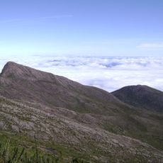
Pico do Cristal
63.8 km
Museu de Biologia Professor Mello Leitão
75.9 km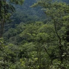
Feliciano Miguel Abdala Private Natural Heritage Reserve
72.6 km
Augusto Ruschi Biological Reserve
80.7 km
Forno Grande State Park
46 km
Cachoeira da Fumaça State Park
63 km
Museu do Tropeiro José Salomão Fadlalah
25.2 km
Mata das Flores State Park
53.2 km
Fazenda do Centro
44.7 km
Residência Augusto Ruschi
75.9 km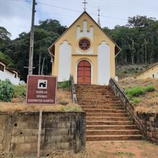
Igreja do Tirol
75.3 km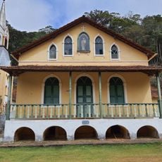
Casa Paroquial do Tirol
75.4 km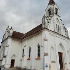
Holy Family Church
79.6 km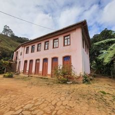
Casarão em Luxemburgo
73.3 km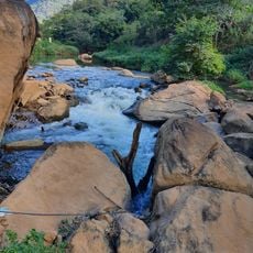
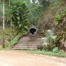
Sumidouro e Cachoeira do Funil
78.6 km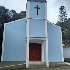
Igrejinha
79.7 km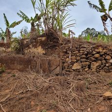
Casarão Holanda I
78.3 km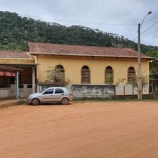
Casarão Holanda II
78.1 km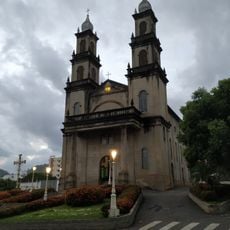
Igreja de Nossa Senhora da Penha
51.8 km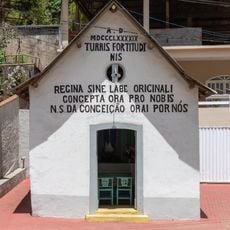
Capela de Nossa Senhora da Conceição
75.5 km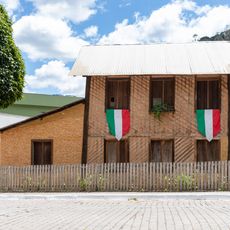
Virgilio Lambert Residence
75.5 km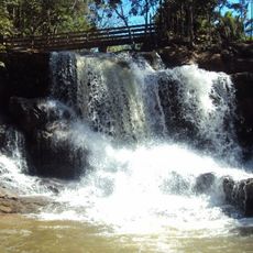
Waterfall
80 km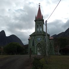
Church
54.5 km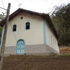
Reviews
Visited this place? Tap the stars to rate it and share your experience / photos with the community! Try now! You can cancel it anytime.
Discover hidden gems everywhere you go!
From secret cafés to breathtaking viewpoints, skip the crowded tourist spots and find places that match your style. Our app makes it easy with voice search, smart filtering, route optimization, and insider tips from travelers worldwide. Download now for the complete mobile experience.

A unique approach to discovering new places❞
— Le Figaro
All the places worth exploring❞
— France Info
A tailor-made excursion in just a few clicks❞
— 20 Minutes