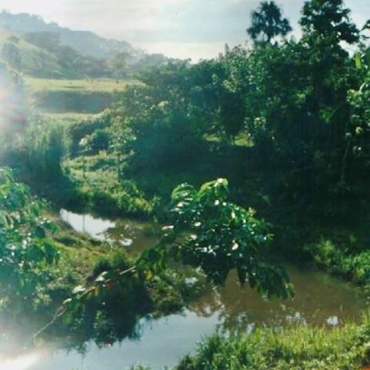
Amazonia, Geographic region in northern Brazil
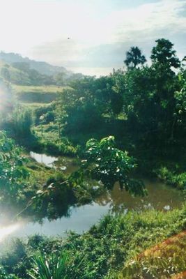
Amazonia is a geographic region stretching across nine Brazilian states and covering around 5 million square kilometers. The landscape is composed of rainforest, cerrado savanna, and pantanal wetlands, connected by river systems and vast forest expanses.
The region remained largely unknown until 1541, when Francisco de Orellana traveled the river and left the first written account. Portuguese and Spanish settlers arrived in the 17th century, opening the interior along the waterways.
The territory takes its name from the Amazons of Greek mythology, reported by early explorers traveling the river. Over 200 languages are still spoken today by peoples who live along the riverbanks and deep in the forest.
Travel relies mainly on river boats and aircraft, as roads are sparse or passable only during dry months. Visitors should prepare for humid conditions, sudden rainfall, and limited infrastructure in many parts.
A section in the western part includes the states of Acre, Amazonas, Roraima, and Rondônia, which together account for just under half the entire area. This section is especially thinly populated and dominated by extensive, barely accessible forest zones.
The community of curious travelers
AroundUs brings together thousands of curated places, local tips, and hidden gems, enriched daily by 92,441 contributors worldwide.