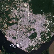
Geography of Manaus, River port settlement in northwestern Brazil
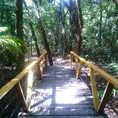
Manaus sits at the confluence of the Negro and Amazon rivers deep within the rainforest and sprawls across a vast area surrounded by dense jungle. Water dominates the landscape, with rivers and wetlands shaping how the city developed and how people move around.
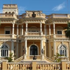
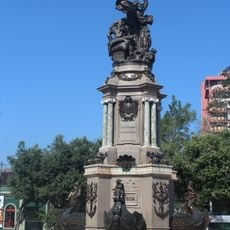
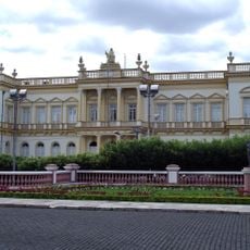
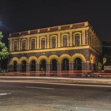
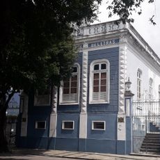
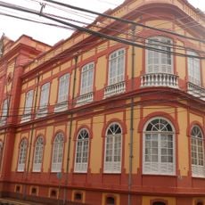
The area started in 1669 as a military outpost to control the region and later transformed into a trading center. During the rubber boom in the late 1800s, the city grew rapidly and became a wealthy port handling commerce from the forest.
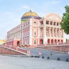
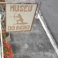
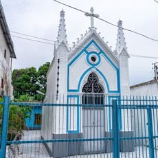
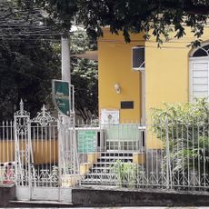
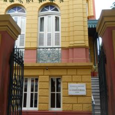
The city serves as a hub where European, African, and indigenous traditions blend visibly in the buildings and daily routines of residents. You notice this mix especially in the older neighborhoods and markets where different communities interact.
The climate is tropical with heavy rainfall, especially during certain months, so pack weather-appropriate clothing. The best time to visit is during the drier season when paths are more accessible and trips to the surrounding forest easier to arrange.
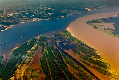
Where the Negro and Amazon rivers meet, two flows with different water densities run side by side without immediately mixing together. This phenomenon remains visible for several kilometers and demonstrates the power of natural forces at this location.
The community of curious travelers
AroundUs brings together thousands of curated places, local tips, and hidden gems, enriched daily by 60,000 contributors worldwide.