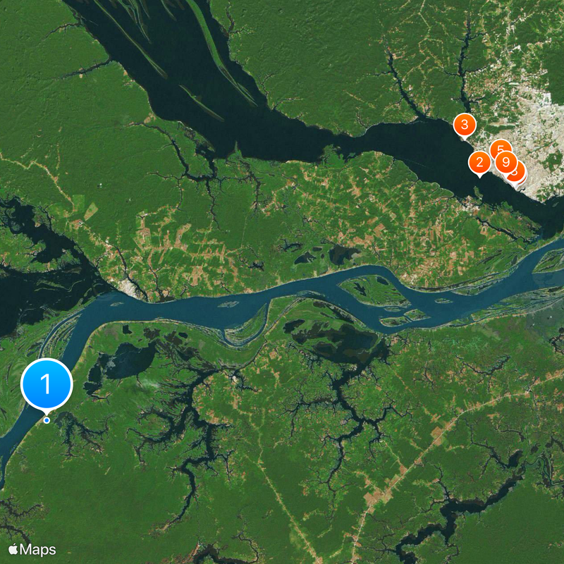
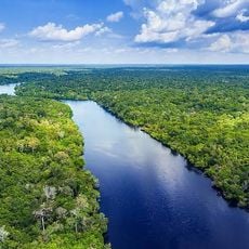
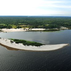
Amazonian lowland, Vast lowland region in Amazonas, Brazil.
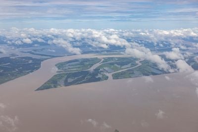
The Amazonian lowland is a vast flat area in Amazonas state, Brazil, marked by dense rainforest, countless river channels, and swampy riverside zones. Its landscape shifts between flooded forests and higher forest patches that change appearance with the seasons.
The basin formed millions of years ago through movements of the Earth's crust and deposits of sediment that gradually filled the shallow depression. Europeans reached the area in the 16th century and brought deep changes to resident communities.
The name comes from Greek Amazons and was given after early reports of fighting women along the rivers. Today over 400 indigenous peoples live there, their languages and daily practices closely tied to changing water levels and forest resources.
Visitors planning to explore the lowland should arrange expert guidance locally and bring suitable gear for wetland conditions. Conditions are easier between June and November when water recedes and many paths become more accessible.
During the flood season water rises up to 15 meters (49 feet) and turns large areas into floating forests where fish swim between tree crowns. This flooding brings fresh nutrients to the soil and creates habitats that exist nowhere else on Earth.
The community of curious travelers
AroundUs brings together thousands of curated places, local tips, and hidden gems, enriched daily by 60,000 contributors worldwide.