Abadiânia, human settlement
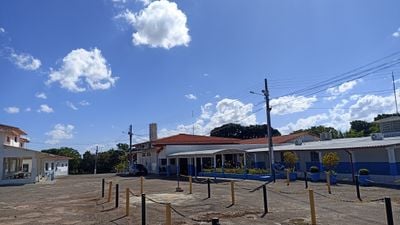
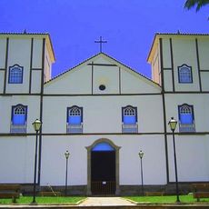
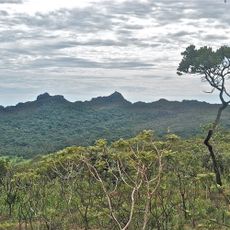
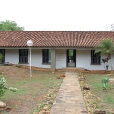
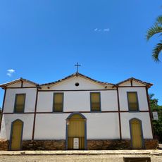
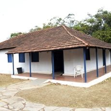
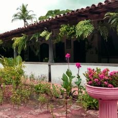
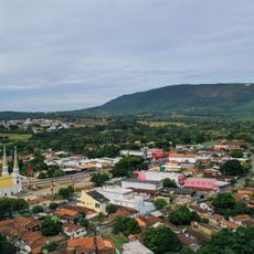
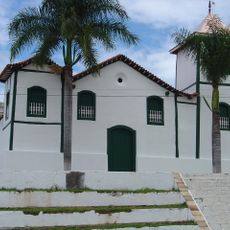
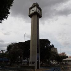
Abadiânia is a municipality located in Goiás state in central Brazil's plateau region. The town has a rural character with modest homes, local shops, and a church at its center that anchors the community.
The municipality was founded in the 18th century and developed from a small settlement into a local trading center. Its name comes from the Tupi language and relates to the geographic characteristics of the region.
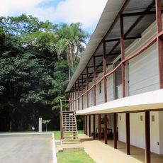
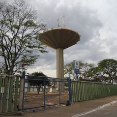
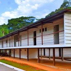
The town sits on an accessible road and is easily reached from larger cities in the region. Basic accommodation and food options are available for visitors interested in experiencing rural life.
The community of curious travelers
AroundUs brings together thousands of curated places, local tips, and hidden gems, enriched daily by 60,000 contributors worldwide.