Brasilia's National Forest, National forest in the Federal District, Brazil.
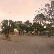
Brasilia's National Forest covers 9,346 hectares in the Federal District, divided into four separate areas: Areas 1 and 2 in Taguatinga and Brazlândia, and Areas 3 and 4 in Brazlândia. Its vegetation includes eucalyptus and pine stands planted from 1973, abandoned pastures, and Cerrado samples such as gallery forests, veredas, and campo sujo.
The protected area was established in 1999 as part of Brazil's broader conservation efforts to preserve natural resources and maintain ecological balance near the capital. The creation reflected growing recognition that protecting forest lands near urban centers was essential for environmental health.
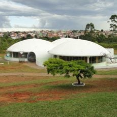
The forest serves as a learning center where schools and organizations participate in environmental education and conservation programs. Visitors can see the results of these efforts in the well-managed woodland sections throughout the area.
The forest is split into four separate glebas: Areas 1 and 2 lie in Taguatinga and Brazlândia, Areas 3 and 4 in Brazlândia. Access is via the administrative regions of Taguatinga and Brazlândia, and the unit is managed by ICMBio. The Cerrado climate has a hot, wet season and a cold, dry one when fires are frequent, so check conditions before setting out.
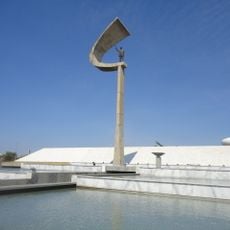
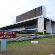
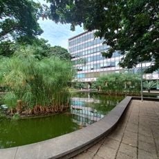
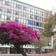
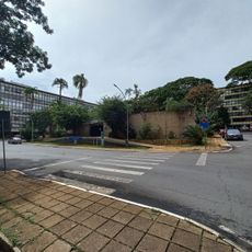
The forest sits directly adjacent to Brasília, a UNESCO World Heritage site, making it one of few protected natural areas connected to a modernist capital city. This unusual proximity between contemporary architecture and native woodland creates an unexpected contrast in the landscape.
The community of curious travelers
AroundUs brings together thousands of curated places, local tips, and hidden gems, enriched daily by 94,511 contributors worldwide.