Goiás, State territory in Central Brazil
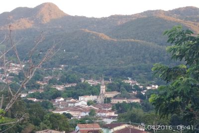
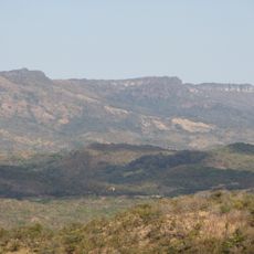
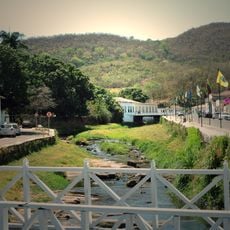
Goiás stretches across the Brazilian Highlands with plateaus between 750 and 900 meters (2,460 to 2,950 feet) above sea level. The landscape alternates between open savanna areas and gentle hills with scattered forest strips along the rivers.
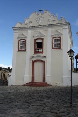
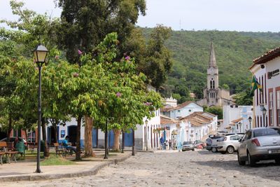
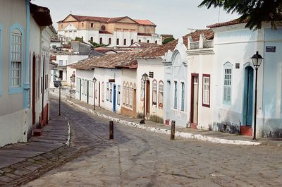
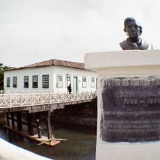
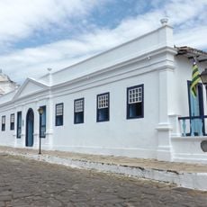
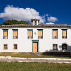
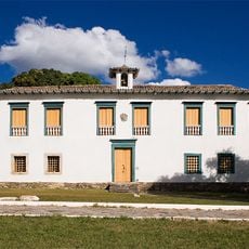
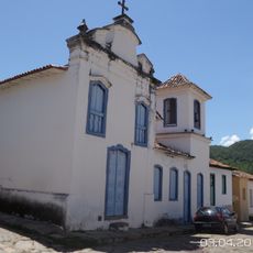
Gold discovery in 1682 by Bartolomeu Bueno da Silva led to the first European settlement in the region. Mining camps later developed into towns and trading routes across the highlands.
Regional cooking uses pequi fruit in many dishes and shows the close connection between local ingredients and eating habits. This culinary tradition still shapes daily life in towns and countryside today.
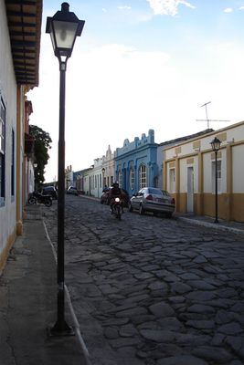
The road network connects major towns with Goiânia serving as the main transport hub. For overland travel, pay attention to road conditions especially during the rainy season between November and March.
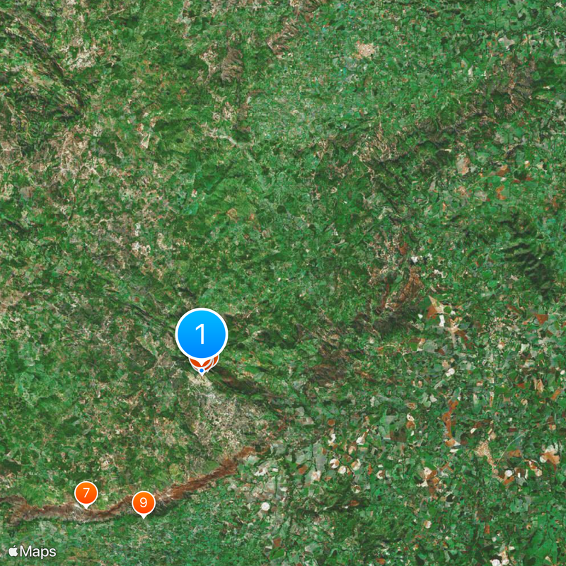
The rivers divide the territory into three major drainage systems and form natural boundaries between the Paranaíba, Araguaia and Tocantins basins. Many of these watercourses originate in the central plateaus and flow in different directions.
Location: Goiás
Inception: 1727
Elevation above the sea: 3 m
Shares border with: Faina, Mossâmedes, Buriti de Goiás, Guaraíta, Heitoraí, Itaberaí, Itapirapuã, Itapuranga, Matrinchã, Novo Brasil
Website: http://goias-go.com.br
GPS coordinates: -15.93389,-50.14000
Latest update: December 4, 2025 23:45
Estádio Olímpico Pedro Ludovico
124.6 km
Historic Centre of the Town of Goiás
714 m
Parish Church of Our Lady of the Rosary
126.8 km
Museu Casa de Cora Coralina
185 m
Count of Arcos Palace
65 m
Museu das Bandeiras
443 m
Church of Our Lady of the Good Death
50 m
Lago das Rosas
124.2 km
Historic center of Pirenópolis
126.8 km
Serra Dourada State Park
22.9 km
Church of Our Lord of Bonfim
127.4 km
Church of Our Lady of Carmo
126.8 km
House of the Babilónia Estate
114 km
Church of Saint Francis of Paola
198 m
Parque Estadual da Serra de Jaraguá
88 km
Casa de Câmara e Cadeia
126.8 km
Museum of Sacred Art
116 m
Church of Saint John the Baptist
4.7 km
Largo do Chafariz
328 m
Church of Saint Barbara
1 km
Conjunto arquitetônico e urbanístico da Rua João Pessoa, antiga da Fundição
50 m
Casa de Câmara e Cadeia
408 m
Igreja de Nossa Senhora da Conceição
88.3 km
Igreja de Nossa Senhora do Rosário
87.8 km
Church of Our Lady of the Abbey
413 m
Cachoeira das Araras
120.8 km
Conjunto Arquitetônico e Urbanístico da Rua Sebastião Fleury Curado
144 m
Roman Catholic Cathedral of Goiás
40 mVisited this place? Tap the stars to rate it and share your experience / photos with the community! Try now! You can cancel it anytime.
Discover hidden gems everywhere you go!
From secret cafés to breathtaking viewpoints, skip the crowded tourist spots and find places that match your style. Our app makes it easy with voice search, smart filtering, route optimization, and insider tips from travelers worldwide. Download now for the complete mobile experience.
A unique approach to discovering new places❞
— Le Figaro
All the places worth exploring❞
— France Info
A tailor-made excursion in just a few clicks❞
— 20 Minutes