Cavernas do Peruaçu National Park, National park with prehistoric caves in northern Minas Gerais, Brazil
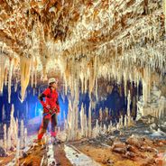
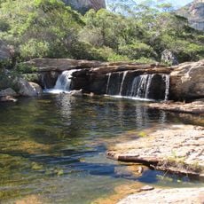
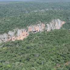
Cavernas do Peruaçu National Park is a large protected area in northern Minas Gerais containing more than 140 caves carved from limestone geology. These caverns hold numerous archaeological sites where people have left traces of occupation spanning thousands of years.
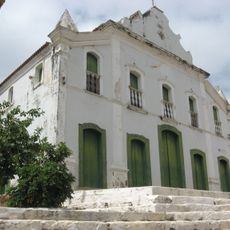
The limestone caves formed millions of years ago when an ancient sea covered the region and gradually dried up. People later used these shelters for dwelling and refuge, which is why numerous archaeological remnants have survived to the present.
The cave walls display ancient rock paintings left by people who lived here thousands of years ago. The Xakriabá indigenous people continue to inhabit the region and maintain their connection to this land.
Visitors explore the caves with certified guides in small organized groups and should wear protective clothing. This approach keeps groups manageable while protecting visitors from insects common in the moist cave environment.
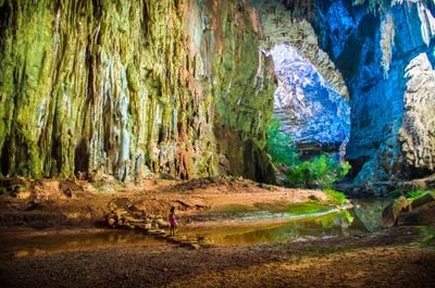
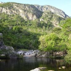
Janelão Cave features enormous chambers with natural openings that function like windows, allowing light to pour in from above. These chambers display remarkably tall stone formations that have accumulated over countless years of mineral deposits.
The community of curious travelers
AroundUs brings together thousands of curated places, local tips, and hidden gems, enriched daily by 60,000 contributors worldwide.