Chest opened
+${chestReward.xp} XP
Explorer
NOUVEAU ×${chestReward.collectible.quantity}
tapez pour fermer
Chest locked

Open chests in the app

Around Us is built for your phone — chests unlock when you walk, explore and capture nearby places.

Enable Location

We need your location to show you interesting places around you

Discover nearby places

Find interesting locations and hidden gems around you

Precise directions

Get accurate directions and distances to places

Your location is never shared with other users. It's only used when you tap the location button.

Itaobim

Log in to your account

Start exploring — it's free

Trusted by 72,961 travelers worldwide

Continue with Google
Continue with Apple
or

We will send you a code to connect

By continuing, you accept our Terms and Conditions and our Privacy Policy

Check your inbox

We've sent a pincode in your inbox. Please enter the code below.

Discussion Reviews 1 Photos
17.1k Popularity

Itaobim, Administrative municipality in northeastern Minas Gerais, Brazil

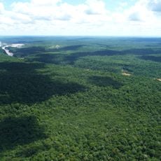
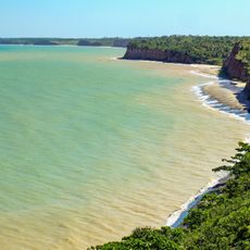
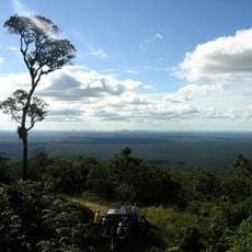
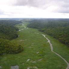
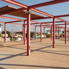
Itaobim is a municipality in northeastern Minas Gerais situated on a plateau at approximately 180 meters elevation. The area spans around 680 square kilometers and is connected by three federal highways: BR-116, BR-367, and BR-327.

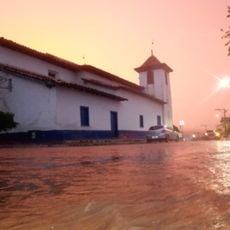
The settlement began as São Roque in the 1910s, then relocated to its current plateau location following a devastating flood in 1928. This relocation shaped the development of the municipality as it exists today.

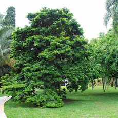
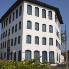
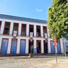
The local Art and Culture Museum holds a collection of taxidermied animals gathered by Brasiliano Pereira Reis, known in the region as Mestre Canjira. This collection reflects how people here have documented and valued their connection to the natural world around them.

The municipality is accessible via three federal highways, making it easy to reach from surrounding regions. Local officials provide information through their official channels, which can help visitors understand available services and facilities.

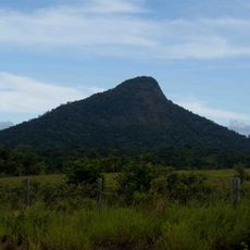
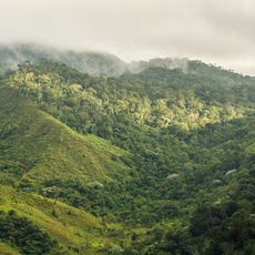
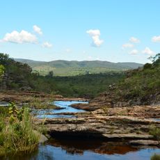
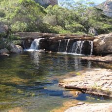
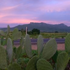
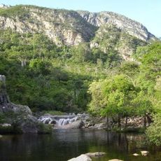
The name originates from Tupi language roots, with 'Itá' meaning rock and 'Oby' meaning green, a reference to the green mountain range nearby. This indigenous linguistic heritage is woven into the identity of the place.

The community of curious travelers

AroundUs brings together thousands of curated places, local tips, and hidden gems, enriched daily by 60,000 contributors worldwide.

Start exploring
Location
Elevation above the sea
180 m
Shares border with
Medina, Ponto dos Volantes, Itinga, Jequitinhonha
GPS coordinates
-16.56194,-41.50278
Latest update
December 7, 2025 19:25
Reviews
Share your experience

No review yet

Discussions
Start a discussion...

No discussion yet

« Itaobim - Administrative municipality in northeastern Minas Gerais, Brazil » is provided by Around Us (aroundus.com). Images and texts are derived from Wikimedia project under a Creative Commons license. You are allowed to copy, distribute, and modify copies of this page, under the conditions set by the license, as long as this note is clearly visible.

Discover hidden gems everywhere you go!

From secret cafés to breathtaking viewpoints, skip the crowded tourist spots and find places that match your style. Our app makes it easy with voice search, smart filtering, route optimization, and insider tips from travelers worldwide. Download now for the complete mobile experience.

Around Us App Screenshot

A unique approach to discovering new places

Le Figaro

All the places worth exploring

France Info

A tailor-made excursion in just a few clicks

20 Minutes

Around Us
Travel Guide & Maps
Download

Send to your phone

QR Code
1

Open the camera app on your mobile.

2

Point at the QR code with your camera. A notification will appear.

3

Tap the notification to open the link.