Jequitinhonha, Administrative region in northeastern Minas Gerais, Brazil.
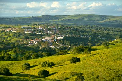
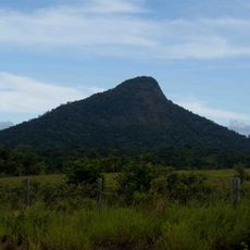
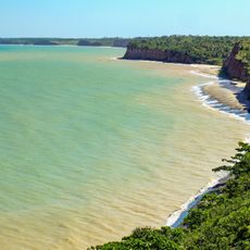
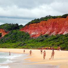
Jequitinhonha is a municipality in northeastern Minas Gerais situated at an elevation of 511 meters above sea level. The territory spans roughly 3,514 square kilometers with rolling terrain and varied landscape features.
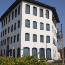
This municipality was founded in 1911 and grew from its early roots into a regional center within the state. The passage of time brought gradual connection to broader economic networks in the region.
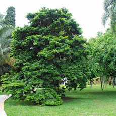
Agriculture shapes daily life in the municipality, with coffee plantations, sugarcane fields, and corn crops dotting the landscape. Cattle ranching remains woven into local economic practices.
Several health centers serve the community along with a hospital offering 76 beds for medical care. The location provides convenient access to neighboring towns including Almenara and Rubim.
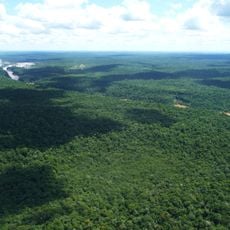
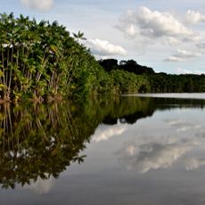
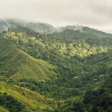
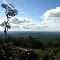
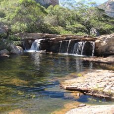
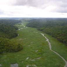
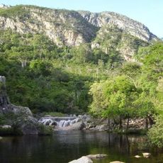
Most of the Mata Escura Biological Reserve sits within the municipality's boundaries, established in 2003 for environmental protection. This sprawling reserve covers roughly 50,890 hectares and showcases the native vegetation typical of the region.
The community of curious travelers
AroundUs brings together thousands of curated places, local tips, and hidden gems, enriched daily by 60,000 contributors worldwide.