Chest opened
+${chestReward.xp} XP
Explorer
NOUVEAU ×${chestReward.collectible.quantity}
tapez pour fermer
Chest locked

Open chests in the app

Around Us is built for your phone — chests unlock when you walk, explore and capture nearby places.

Enable Location

We need your location to show you interesting places around you

Discover nearby places

Find interesting locations and hidden gems around you

Precise directions

Get accurate directions and distances to places

Your location is never shared with other users. It's only used when you tap the location button.

Log in to your account

Start exploring — it's free

Trusted by 72,988 travelers worldwide

Continue with Google
Continue with Apple
or

We will send you a code to connect

By continuing, you accept our Terms and Conditions and our Privacy Policy

Check your inbox

We've sent a pincode in your inbox. Please enter the code below.

Discussion Reviews Photo
11.7k Popularity

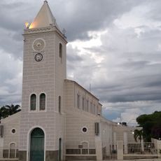
Rio Pardo de Minas, Northeastern municipality in Minas Gerais, Brazil.

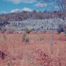
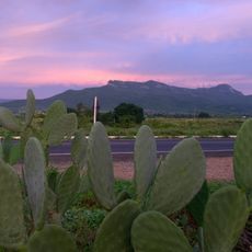
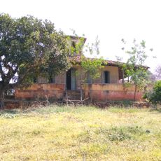
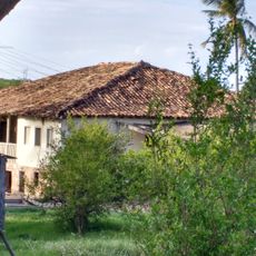
Rio Pardo de Minas is a municipality in northeastern Minas Gerais located at about 835 meters elevation, spread across a large territory. The landscape is characterized by rural areas where agriculture remains the primary activity.

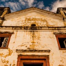
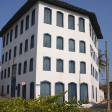
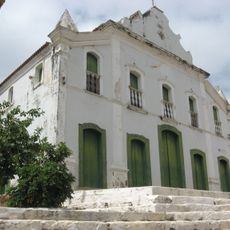
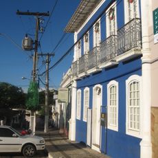
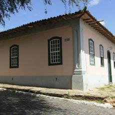
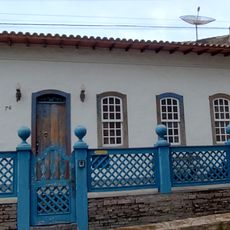
The area became an independent municipality in 1831 after previously serving as a district of Monte Azul. This transition marked the start of its own administrative history in the region.

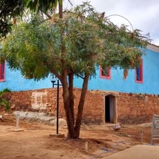
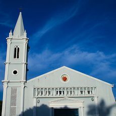
The town maintains farming traditions through local celebrations that highlight regional growing methods and the production of beans, corn, and coffee. These festivals show how deeply agricultural work shapes the daily life and identity of the community.

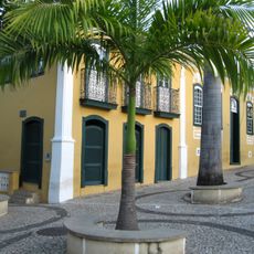
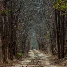
The place is surrounded by farming areas, so comfortable shoes and sun protection are recommended. Visitors should take their time exploring the rural surroundings to get a feel for the local way of life.

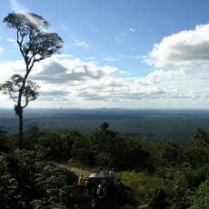
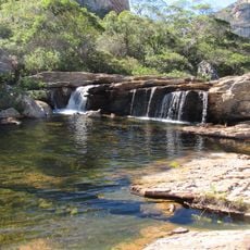
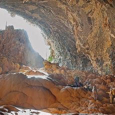
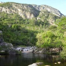
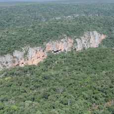
The area contains sections of Serra Nova State Park and Nascentes Geraizeiras Protected Area, which preserve rare cerrado habitats. These protected zones offer visitors a chance to experience one of Brazil's lesser-documented landscapes.

The community of curious travelers

AroundUs brings together thousands of curated places, local tips, and hidden gems, enriched daily by 60,000 contributors worldwide.

Start exploring
Location
Elevation above the sea
835 m
Shares border with
Mato Verde, Salinas, Taiobeiras, Fruta de Leite, Grão Mogol, Indaiabira, Montezuma, Novorizonte, Porteirinha, Riacho dos Machados, Santo Antônio do Retiro, Serranópolis de Minas, Vargem Grande do Rio Pardo
GPS coordinates
-15.61000,-42.54000
Latest update
December 7, 2025 20:49
Reviews
Share your experience

No review yet

Discussions
Start a discussion...

No discussion yet

« Rio Pardo de Minas - Northeastern municipality in Minas Gerais, Brazil » is provided by Around Us (aroundus.com). Images and texts are derived from Wikimedia project under a Creative Commons license. You are allowed to copy, distribute, and modify copies of this page, under the conditions set by the license, as long as this note is clearly visible.

Discover hidden gems everywhere you go!

From secret cafés to breathtaking viewpoints, skip the crowded tourist spots and find places that match your style. Our app makes it easy with voice search, smart filtering, route optimization, and insider tips from travelers worldwide. Download now for the complete mobile experience.

Around Us App Screenshot

A unique approach to discovering new places

Le Figaro

All the places worth exploring

France Info

A tailor-made excursion in just a few clicks

20 Minutes

Around Us
Travel Guide & Maps
Download

Send to your phone

QR Code
1

Open the camera app on your mobile.

2

Point at the QR code with your camera. A notification will appear.

3

Tap the notification to open the link.