Divisa Alegre, Municipality in northeastern Minas Gerais, Brazil.
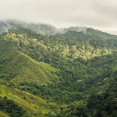
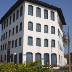
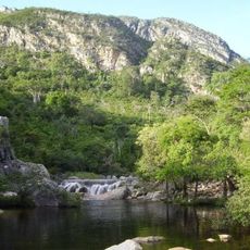
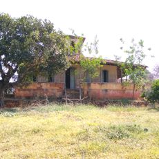
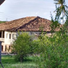
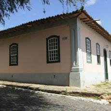
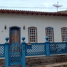
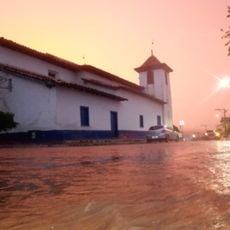
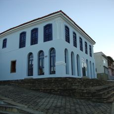
Divisa Alegre is a municipality in northeastern Minas Gerais situated within the Jequitinhonha mesoregion. The town sits at around 975 meters elevation and covers agricultural land spread across approximately 118 square kilometers.
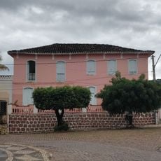
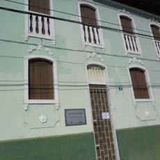
The municipality emerged in 1997 when it separated from Águas Vermelhas to establish its own administrative structure. This independence marked a significant moment in the region's development and local governance.
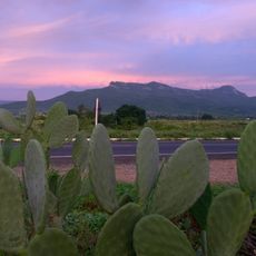
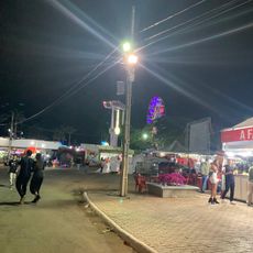
Agriculture shapes daily life here, with coffee, bananas, and sugarcane farming defining the work rhythm and local traditions. These crops are central to how the community functions and what people do throughout the year.
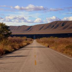
The BR-116 highway provides the main transportation link connecting this municipality to neighboring areas and facilitates regional movement. Traveling with your own vehicle works best for exploring the surrounding agricultural landscape and local towns.
This municipality sits at the borders of four different neighboring towns, making it a natural junction point for regional trade routes. This central location has shaped how the area functions as a crossroads for commerce and movement between regions.
The community of curious travelers
AroundUs brings together thousands of curated places, local tips, and hidden gems, enriched daily by 60,000 contributors worldwide.