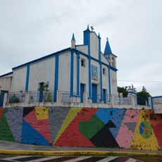
Barra do Choça, Municipality in Bahia, Brazil
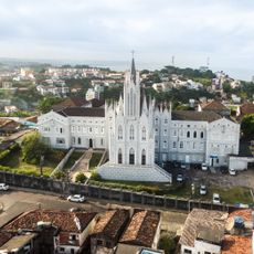
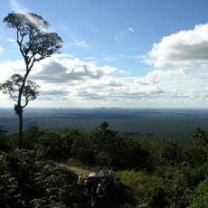
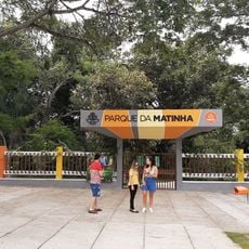
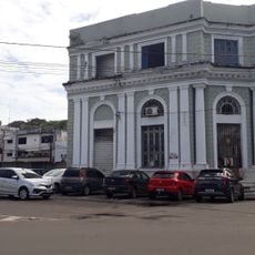
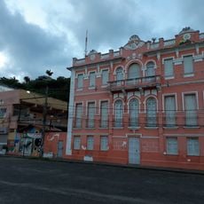
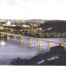
Barra do Choça is a municipality in Bahia, northeastern Brazil, situated at an elevation of approximately 710 meters and encompassing both urban and rural areas. The terrain spreads across hills and farmland where agricultural properties shape the landscape.
The municipality developed in the 20th century through agricultural activities, particularly with coffee and cocoa cultivation in the hillside regions. These plantations became the economic foundation and led to the establishment of its administrative center.
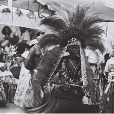
Residents celebrate local traditions through community gatherings and regional cooking that relies on ingredients from surrounding farms. These everyday practices connect people to their rural surroundings and shape the social fabric of the town.
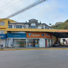
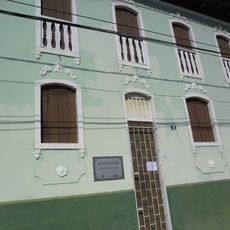
The town operates on Brasília Time (UTC-3) and has administrative offices in the central district for basic services. Visitors can find essential supplies and local information there for orientation within the municipality.
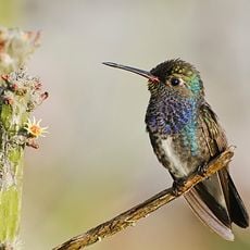
The elevation of approximately 710 meters creates ideal growing conditions for coffee, making the region particularly attractive to farmers. This geographic feature has shaped the character of local agriculture and the community itself.
Location: Bahia
Elevation above the sea: 710 m
Shares border with: Caatiba, Itambé, Planalto, Vitória da Conquista
Website: http://barradochoca.ba.gov.br
GPS coordinates: -14.88083,-40.57889
Latest update: December 10, 2025 15:54
Gruta de Mangabeira
140.7 km
Estádio Lomanto Júnior
26.6 km
Una Biological Reserve
161.1 km
Estádio Luiz Viana Filho, Itabuna
140.1 km
Boa Nova National Park
72 km
Instituto Nossa Senhora da Piedade
166.2 km
Matamba Tombenci Neto
165 km
Capela de Nossa Senhora Santana
162.6 km
Mata Escura Biological Reserve
165.2 km
Gruta do Padre
139.7 km
Lagoa Encantada e Rio Almada Environmental Protection Area
157.1 km
Contendas de Sincorá National Forest
118.7 km
Jibóia
54.4 km
Planetário Professor Everardo Públio de Castro
29.4 km
Cathedral of St. Joseph, Itabuna
140.4 km
Imovél à Rua Araújo Pinho, Nº 46
166.4 km
Centerplex Boulevard Conquista
26.5 km
Sindicato Rural de Ilhéus
166.3 km
Palacete Coronel Ramiro Castro
166 km
Imovél à Rua Araújo Pinho, Nº 48 (descaracterizado)
166.4 km
Moviecom Vitória da Conquista
28.9 km
Teatro Municipal Candinha Dórea
138.2 km
Alexandre Rodrigues Ferreira Mammal Collection
151.6 km
Praça Cairú
166.3 km
Historical Archive Municipal Memory of Brumado
139.2 km
Ponte do Pontal, Ilhéus
165.7 km
Capela de Nossa Senhora da Vitória, Ilhéus
166.4 km
Edifício Pereira - Ventin
166.4 kmVisited this place? Tap the stars to rate it and share your experience / photos with the community! Try now! You can cancel it anytime.
Discover hidden gems everywhere you go!
From secret cafés to breathtaking viewpoints, skip the crowded tourist spots and find places that match your style. Our app makes it easy with voice search, smart filtering, route optimization, and insider tips from travelers worldwide. Download now for the complete mobile experience.
A unique approach to discovering new places❞
— Le Figaro
All the places worth exploring❞
— France Info
A tailor-made excursion in just a few clicks❞
— 20 Minutes