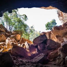
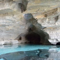
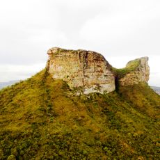
Ipupiara, Municipality in Bahia, Brazil
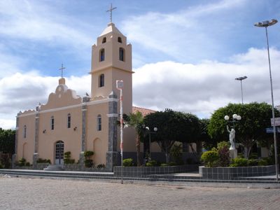
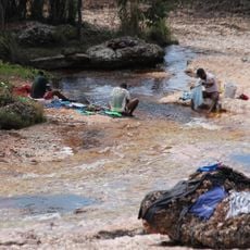
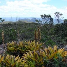
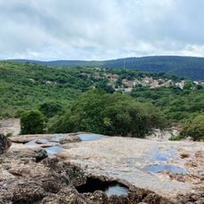
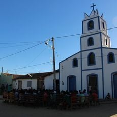
Ipupiara is a municipality in Bahia, Brazil, where several church buildings stand throughout the territory and serve the community. The town is located in the northeastern part of the state and comprises different residential areas connected by local roads.
The municipality was established as an administrative division and became part of Bahia's development within Brazil's federal system. Over time, its governance structure adapted to serve the needs of the growing population.
The residents speak Portuguese and follow Catholic traditions that shape how people gather in public spaces and mark important times of year. These customs are visible in Sunday gatherings and in how the community celebrates seasonal events together.
The municipality follows the UTC-3 time zone and provides essential public services through its local government offices. Visitors should expect warm tropical weather and local infrastructure adapted to the region's conditions.
Statistical tracking of the municipality began in 2009 through Brazil's national statistics institute. Since then, population and development data have been regularly documented to monitor local conditions.
GPS coordinates: -11.82207,-42.61114
Latest update: December 10, 2025 15:54
Cachoeira da Fumaça
152.7 km
Morro do Pai Inácio
142.9 km
Lapa Doce
125.4 km
Área de Proteção Ambiental Marimbus / Iraquara
153.8 km
Morro do Chapéu State Park
152.8 km
Gruta da Torrinha
108.1 km
Gruta da Pratinha
130.6 km
Rio Lençóis (Bahia)
154.2 km
Morro do Camelo
141.5 km
Morrão
155.1 km
Gruta da Fumaça
124.2 km
Parque Natural Municipal do Morro do Pai Inácio
142.5 km
Cachoeira do Mosquito
148.2 km
Cachoeira do Riachinho
145.6 km
Buraco do Possidônio
147.5 km
Parque Natural Municipal da Muritiba
155.5 km
Cachoeira da Purificação
154.3 km
Gruta Azul (Iraquara)
130.9 km
Parque Natural Municipal do Boqueirão
147.8 km
Gruta do Lapão
154 km
Parque Natural Municipal do Riachinho
145.8 km
Cachoeira da Primavera
154.8 km
Cachoeira do Vinte e Um
152 km
Monumento Natural Municipal da Carrapeta
147.6 km
Conjunto Paisagístico do Morro do Pai Inácio
142.5 km
Sítio Pedra Furada
76.1 km
Poço do Diabo
148.4 km
Quilombo Igarité
98.9 kmVisited this place? Tap the stars to rate it and share your experience / photos with the community! Try now! You can cancel it anytime.
Discover hidden gems everywhere you go!
From secret cafés to breathtaking viewpoints, skip the crowded tourist spots and find places that match your style. Our app makes it easy with voice search, smart filtering, route optimization, and insider tips from travelers worldwide. Download now for the complete mobile experience.
A unique approach to discovering new places❞
— Le Figaro
All the places worth exploring❞
— France Info
A tailor-made excursion in just a few clicks❞
— 20 Minutes