Lauro de Freitas, Metropolitan municipality in Greater Salvador, Brazil
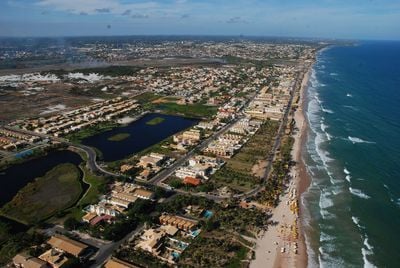
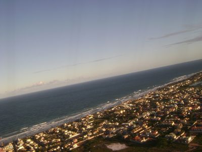
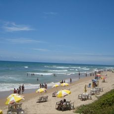
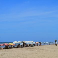
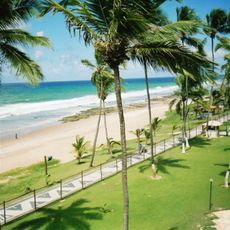
Lauro de Freitas is a municipality in Greater Salvador, Bahia, positioned along the North Coast between the state capital and Camaçari. The territory runs from the Joanes River to the Atlantic Ocean and includes several beaches and residential neighborhoods spread along the shoreline.
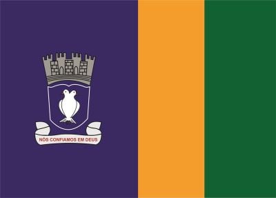
The area remained part of a neighboring district until the early 1960s, when it became an independent municipality. The name honors an engineer involved in regional development work.
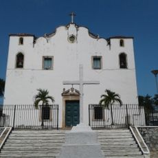
The Mother Church of Santo Amaro de Ipitanga stands as a seventeenth-century colonial monument connected to Jesuit missions of the Garcia D'Ávila family.
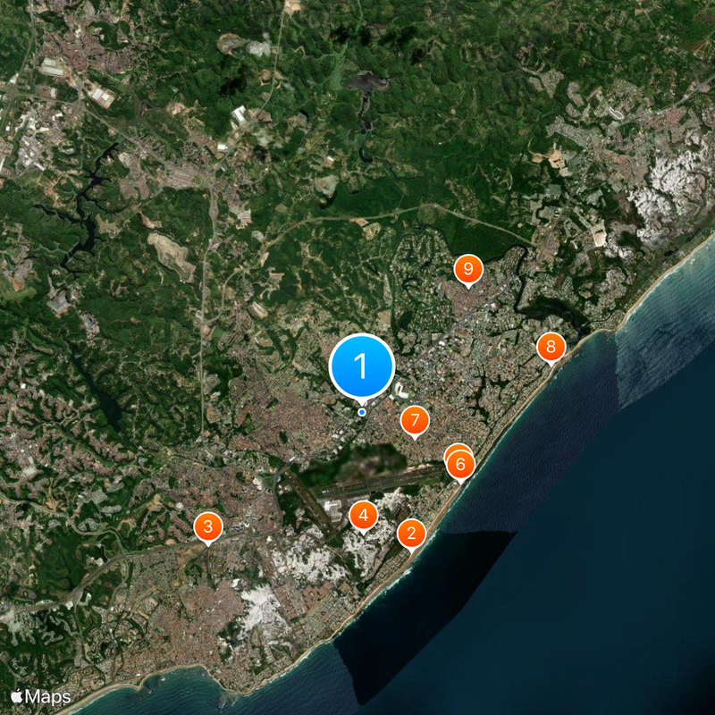
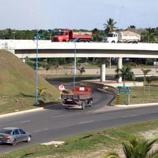
The area sits next to Salvador International Airport and is easy to reach via main roads running north and south along the coast. Most visitors use the town as a stopover between the airport and beaches further north.
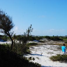
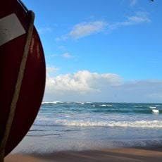
The mouth of the Joanes River attracts wading birds that gather in the shallow lagoon where fresh water meets salt. The river forms a natural boundary between beaches and gives the area a distinctive landscape of sandbars and mangroves.
Location: Bahia
Inception: 1962
Elevation above the sea: 30 m
Part of: Salvador, Greater Salvador
Shares border with: Salvador, Camaçari, Simões Filho
Website: http://laurodefreitas.ba.gov.br
GPS coordinates: -12.89389,-38.32694
Latest update: December 4, 2025 23:43
Itapuã Beach
7.7 km
Praia do Flamengo
3.7 km
Lighthouse Itapuã
7.6 km
Parque de Exposições de Salvador
5.1 km
Parque das Dunas, Salvador
3 km
Jaguaribe Beach
9.8 km
Stella Maris beach
4.7 km
Kartódromo Ayrton Senna
2.9 km
Praia de Piatã
9.2 km
Área de Proteção Ambiental Lagoas e Dunas do Abaeté
5.4 km
Ilê Axé Asipá
7.7 km
Terreiro de Jauá
13.1 km
Buraquinho Beach
4.9 km
Praia de Aleluia
3.4 km
Complexo Viário Dois de Julho
3 km
CHESF Headquarters Building
11.4 km
Cinépolis Parque Shopping Bahia
994 m
Igreja Matriz de Santo Amaro do Ipitanga
481 m
Sereia de Itapuã
7.8 km
Vale Encantado
9.8 km
Cinépolis Salvador Norte
3.2 km
Conjunto Arquitetônico e Paisagístico, Trechos da Avenida Otávio Mangabeira, compreendendo as praias do Chega Negro e Piatã, no Subdistrito de Itapoã
7.7 km
Cinesercla Cajazeiras
8.3 km
Praia de Catussaba
6.2 km
UCI Orient Paralela
8.7 km
Busca Vida
8.2 km
Praia do Farol de Itapuã
7.8 km
Ilê Axé Ibalecy
3.5 kmReviews
Visited this place? Tap the stars to rate it and share your experience / photos with the community! Try now! You can cancel it anytime.
Discover hidden gems everywhere you go!
From secret cafés to breathtaking viewpoints, skip the crowded tourist spots and find places that match your style. Our app makes it easy with voice search, smart filtering, route optimization, and insider tips from travelers worldwide. Download now for the complete mobile experience.
A unique approach to discovering new places❞
— Le Figaro
All the places worth exploring❞
— France Info
A tailor-made excursion in just a few clicks❞
— 20 Minutes