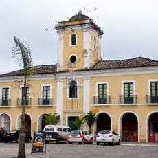
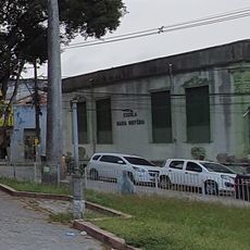
Conceição do Jacuípe, Municipality in Bahia, Brazil.
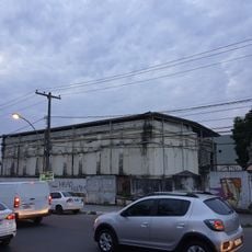
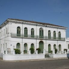
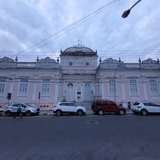
Conceição do Jacuípe is a municipality in Bahia located in northeastern Brazil, covering an area of 117.53 square kilometers at an elevation of 215 meters. It is connected to neighboring towns through a network of highways that support local commerce and movement between communities.
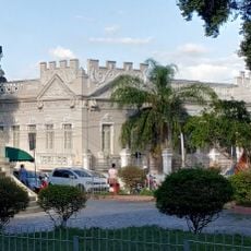
The area became an independent municipality in 1961, marking a significant shift in how the region was governed and organized administratively. This change established the foundations for the local government structure that continues to operate today.
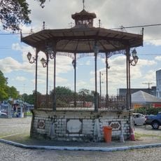
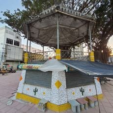
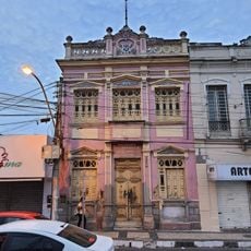
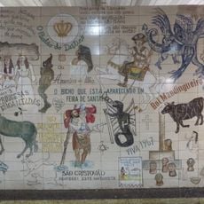
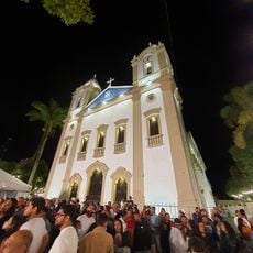
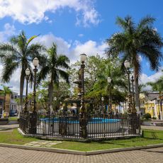
The town is rooted in Bahian traditions, with local celebrations featuring regional music, dance, and food that reflect the area's heritage. These customs shape how people gather and mark important occasions throughout the year.
Visitors can reach the municipality through highway connections that provide access to the surrounding region and make exploration straightforward. The town is most active during local celebrations, when its traditions are on full display for those passing through.
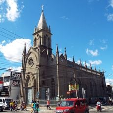
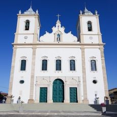
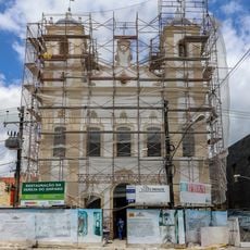
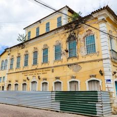
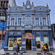
The town's name combines a reference to the Church of Conception with the Jacuípe River, which has shaped the local landscape and played a role in the area's development. These two elements have defined the community's character over time.
Location: Bahia
Inception: 1961
Elevation above the sea: 215 m
Shares border with: Santo Amaro, Amélia Rodrigues, Coração de Maria, Feira de Santana, Teodoro Sampaio, Terra Nova
GPS coordinates: -12.32694,-38.76500
Latest update: December 7, 2025 10:05
Igreja Senhor dos Passos
23.2 km
Municipal Market of Feira de Santana
23.3 km
Prédio do Arquivo Público Municipal
23.3 km
Town Hall of Feira de Santana
23.2 km
Prédio da Santa Casa da Misericórdia
23.6 km
Coreto da Praça da Matriz
23.4 km
University Center for Culture and Art
23.4 km
Igreja Matriz de Nossa Senhora da Purificação
25.2 km
Town Hall and Prison of Santo Amaro
25.4 km
Prédio da Vila Froés da Motta
23.5 km
Church of Our Lady of Remedies
23.4 km
Coreto da Praça Bernardino Bahia
23.3 km
Church of Our Lady of Protection
25.5 km
Santa Casa de Misericórdia de Santo Amaro
25.2 km
Coreto da Praça Fróes da Motta
23.5 km
Filarmônica 25 de Março
23.4 km
Painel do Artista Lênio Braga (Terminal Rodoviário)
22.5 km
Casa à Rua da Matriz, 9
25.2 km
Prédio do Grupo Escolar J.J. Seabra (Antiga Escola Normal Rural)
23.4 km
Igreja Matriz de São Gonçalo
23.5 km
Igreja Matriz de Nossa Senhora da Oliveira
11.3 km
Retreat and Church of Our Lady of Humility
25.4 km
Igreja de Nossa Senhora dos Humildes
11.6 km
Prédio da Escola Maria Quitéria
23.5 km
Orient Cinemas Feira de Santana
22.2 km
Cinesercla Feira de Santana
14 km
Fountain at Praça da Purificação
25.3 km
Filarmônica Vitória
23.4 kmVisited this place? Tap the stars to rate it and share your experience / photos with the community! Try now! You can cancel it anytime.
Discover hidden gems everywhere you go!
From secret cafés to breathtaking viewpoints, skip the crowded tourist spots and find places that match your style. Our app makes it easy with voice search, smart filtering, route optimization, and insider tips from travelers worldwide. Download now for the complete mobile experience.
A unique approach to discovering new places❞
— Le Figaro
All the places worth exploring❞
— France Info
A tailor-made excursion in just a few clicks❞
— 20 Minutes