Morro do Chapéu, Administrative municipality in Bahia, Brazil.
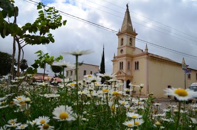
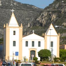
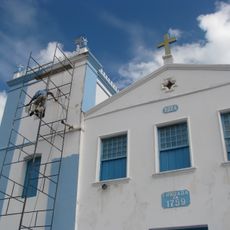
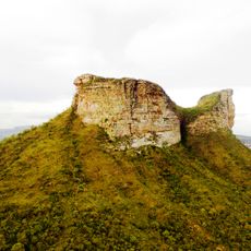
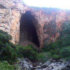
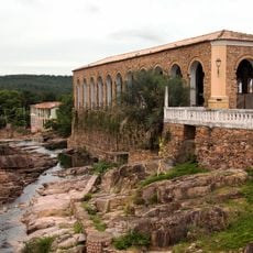
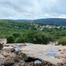
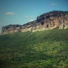
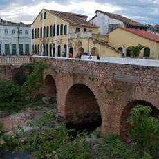
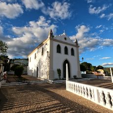
Morro do Chapéu is a municipality in Bahia located at a high elevation with varied terrain spread across a large area. The town functions as an administrative center with government offices and public facilities serving the surrounding region.
The municipality was established in the mid-20th century and developed from an agricultural settlement into a regional administrative center. This transformation shaped how the place is organized and functions today.
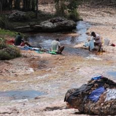
Local festivals throughout the year feature regional music and dance performances, along with markets where artisans sell handmade goods. These gatherings form an important part of community life and bring people together regularly.
The town is accessible by road and offers basic services and facilities for visitors and residents. The best time to visit is during the dry season when weather conditions are most favorable.
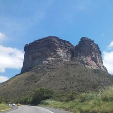
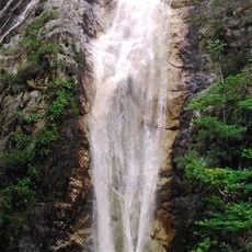
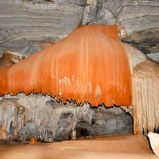
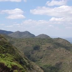
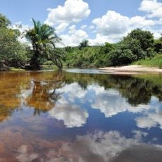
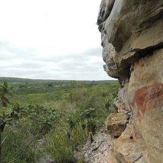
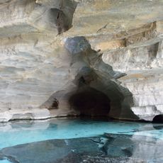
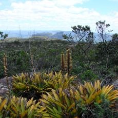
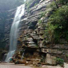
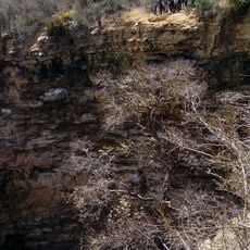
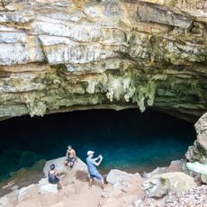
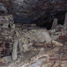
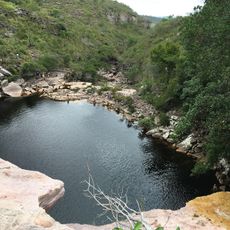
A protected park area preserves local ecosystems and plays a role in managing mineral resources in the region. This conservation work makes the area noteworthy for nature enthusiasts.
Location: Bahia
Elevation above the sea: 641 m
Shares border with: Utinga, Bonito, América Dourada, Cafarnaum, João Dourado, Jussara, Miguel Calmon, Mundo Novo, Ourolândia, Piritiba, São Gabriel, Sento Sé, Tapiramutá, Umburanas, Várzea Nova
GPS coordinates: -11.55003,-41.15702
Latest update: December 14, 2025 11:24
Morro do Pai Inácio
106.9 km
Cachoeira Véu de Noiva
75.3 km
Lapa Doce
97.2 km
Parish Church of Santo Antonio of Jacobina
81.6 km
Monumento Natural Cachoeira do Ferro Doido
19.1 km
Sete Passagens State Park
71.3 km
Hotel e Parque Aquático Fiesta Park
79.5 km
Área de Proteção Ambiental Marimbus / Iraquara
103.9 km
Morro do Chapéu State Park
23.3 km
Instituto Ponte Nova
82.1 km
Gruta da Pratinha
98.6 km
Igreja de Nossa Senhora da Conceição (Jacobina)
81.4 km
Rio Lençóis (Bahia)
115.4 km
Morro do Camelo
102.4 km
Morrão
7.2 km
Lapa dos Brejões
67.1 km
Architectural and Landscape Set of Lençóis
115.4 km
Gruta da Fumaça
99.3 km
Parque Natural Municipal do Morro do Pai Inácio
106.5 km
Cachoeira do Mosquito
94.4 km
Buraco do Possidônio
16.3 km
Parque Natural Municipal da Muritiba
115.7 km
Gruta Azul (Iraquara)
98 km
Gruta do Lapão
113.5 km
Conjunto Paisagístico do Morro do Pai Inácio
106.5 km
Ponte Sobre o Rio Lençois
115.4 km
Igreja do Senhor dos Passos (Lençóis)
115.3 km
Poço do Diabo
105.3 kmVisited this place? Tap the stars to rate it and share your experience / photos with the community! Try now! You can cancel it anytime.
Discover hidden gems everywhere you go!
From secret cafés to breathtaking viewpoints, skip the crowded tourist spots and find places that match your style. Our app makes it easy with voice search, smart filtering, route optimization, and insider tips from travelers worldwide. Download now for the complete mobile experience.
A unique approach to discovering new places❞
— Le Figaro
All the places worth exploring❞
— France Info
A tailor-made excursion in just a few clicks❞
— 20 Minutes