Enable Location

We need your location to show you interesting places around you

Discover nearby places

Find interesting locations and hidden gems around you

Precise directions

Get accurate directions and distances to places

Your location is never shared with other users. It's only used when you tap the location button.

Ipirá

Log in to your account

Start exploring — it's free

Trusted by 61,995 travelers worldwide

Continue with Google
Continue with Apple
or

We will send you a code to connect

By continuing, you accept our Terms and Conditions and our Privacy Policy

Check your inbox

We've sent a pincode in your inbox. Please enter the code below.

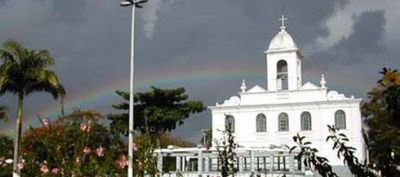
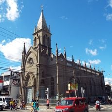
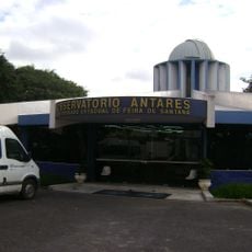
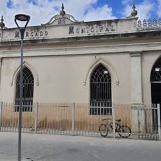
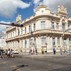
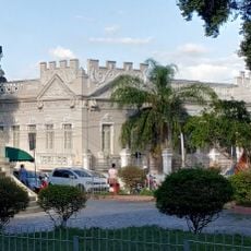
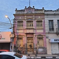
Ipirá, Municipality and administrative center in Bahia, Brazil

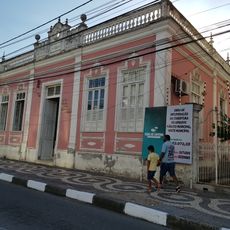
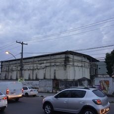
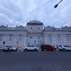
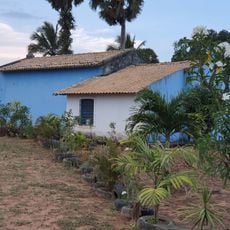
Ipirá is a municipality in the interior of Bahia state that stretches across agricultural landscapes and residential neighborhoods. A network of local roads connects the different areas of the town together.

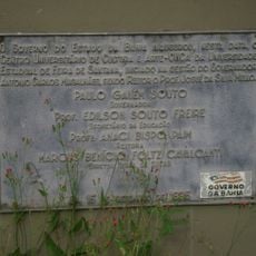
Ipirá became an independent municipality through legislative action on July 30, 1962, after functioning as a district before that time. This administrative change allowed the region to establish itself as a self-governing community.

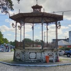
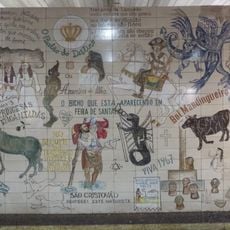
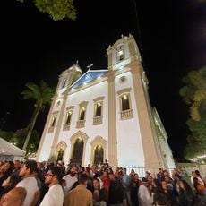
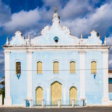
The municipality keeps connections to Bahian traditions alive through regular festivals and music performances that appear in everyday community life. Visitors can experience this cultural identity in local gatherings and celebrations that shape the rhythm of the town.

The administrative center is located at BA-052 kilometer 86 and provides information to visitors and residents. Using local roads is helpful for exploring the different areas of the municipality.

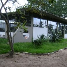
Students in the community participate in film production courses and talent shows that highlight local creativity. These programs show how young people develop artistic skills and transform regional traditions into new forms.

The community of curious travelers

AroundUs brings together thousands of curated places, local tips, and hidden gems, enriched daily by 60,000 contributors worldwide.

Start exploring
Location
Elevation above the sea
259 m
Shares border with
Serra Preta, Pintadas, Baixa Grande, Iaçu, Ipecaetá, Itaberaba, Macajuba, Pé de Serra, Rafael Jambeiro, Riachão do Jacuípe, Ruy Barbosa
GPS coordinates
-12.15778,-39.73694
Latest update
December 7, 2025 10:06
« Ipirá - Municipality and administrative center in Bahia, Brazil » is provided by Around Us (aroundus.com). Images and texts are derived from Wikimedia project under a Creative Commons license. You are allowed to copy, distribute, and modify copies of this page, under the conditions set by the license, as long as this note is clearly visible.

Discover hidden gems everywhere you go!

From secret cafés to breathtaking viewpoints, skip the crowded tourist spots and find places that match your style. Our app makes it easy with voice search, smart filtering, route optimization, and insider tips from travelers worldwide. Download now for the complete mobile experience.

Around Us App Screenshot

A unique approach to discovering new places

Le Figaro

All the places worth exploring

France Info

A tailor-made excursion in just a few clicks

20 Minutes

Around Us
Travel Guide & Maps
Download

Send to your phone

QR Code
1

Open the camera app on your mobile.

2

Point at the QR code with your camera. A notification will appear.

3

Tap the notification to open the link.