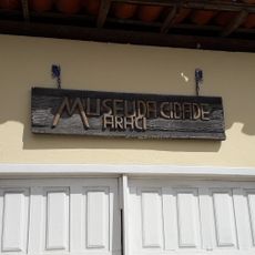
Inhambupe, Municipality in northeastern Bahia, Brazil.
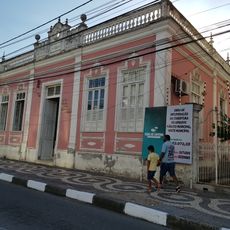
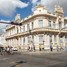
Inhambupe is a municipality in northeastern Bahia positioned roughly 160 kilometers north of Salvador at an elevation of about 200 meters. The town sits along a major highway with residential neighborhoods mixed among agricultural lands that form the local landscape.
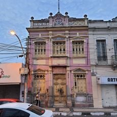
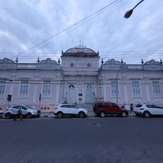
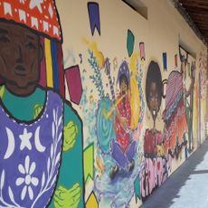
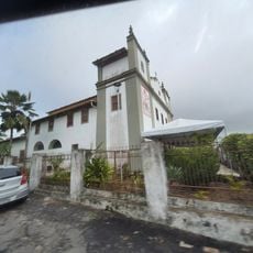
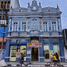
The town gained official status in 1728 after Jesuit missionaries established themselves near the local river. This religious foundation shaped the early growth and character of the settlement.
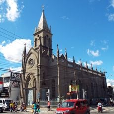
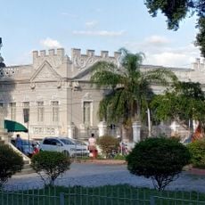
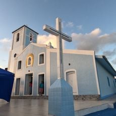
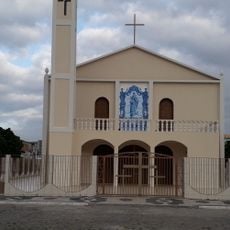
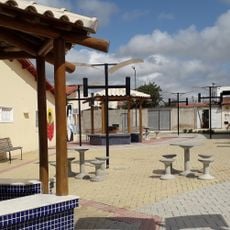
The church dedicated to the Divine Holy Spirit serves as a gathering place where residents come together for religious celebrations and local festivals. These occasions shape how the community connects and marks its rhythms throughout the year.
The town is most easily reached via the main highway running through the region from the south. Since the area remains largely rural, plan for travel times when visiting from larger cities nearby.
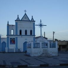
A notable religious figure named Antônio Conselheiro traveled through the area in the late 1800s before becoming involved in a major movement that shaped the region. This passage left a mark on local memory and historical records.
Location: Bahia
Elevation above the sea: 195 m
Shares border with: Alagoinhas, Água Fria, Aporá, Aramari, Crisópolis, Entre Rios, Olindina, Sátiro Dias
Website: https://inhambupe.ba.gov.br
GPS coordinates: -11.78389,-38.35278
Latest update: December 7, 2025 20:23
Estádio Joia da Princesa
84.7 km
Igreja Senhor dos Passos
84.8 km
Antares Astronomical Observatory
85 km
Municipal Market of Feira de Santana
84.9 km
Prédio do Arquivo Público Municipal
84.8 km
Town Hall of Feira de Santana
84.9 km
Prédio da Santa Casa da Misericórdia
85.6 km
Coreto da Praça da Matriz
85.4 km
University Center for Culture and Art
85.3 km
Sertão Museum
81.3 km
Prédio da Vila Froés da Motta
84.6 km
Church of Our Lady of Remedies
84.8 km
Coreto da Praça Bernardino Bahia
84.8 km
Coreto da Praça Fróes da Motta
84.6 km
Filarmônica 25 de Março
85.1 km
Painel do Artista Lênio Braga (Terminal Rodoviário)
84.7 km
Prédio do Grupo Escolar J.J. Seabra (Antiga Escola Normal Rural)
85.2 km
Igreja Matriz de Nossa Senhora do Monte
79.7 km
Orient Cinemas Shopping Serrinha
72 km
Centro Cultural de Araci
83.2 km
Igreja de Nossa Senhora da Conceição do Raso de Araci
83.4 km
Igreja de Nossa Senhora dos Humildes
85 km
Igreja e Cruzeiro – Crisópolis
37.5 km
Orient Cinemas Feira de Santana
82.6 km
Cinesercla Feira de Santana
82.3 km
Museum of the City of Araci
83.2 km
Filarmônica Vitória
85.1 km
Praça da Cultura e Juventude
83.3 kmVisited this place? Tap the stars to rate it and share your experience / photos with the community! Try now! You can cancel it anytime.
Discover hidden gems everywhere you go!
From secret cafés to breathtaking viewpoints, skip the crowded tourist spots and find places that match your style. Our app makes it easy with voice search, smart filtering, route optimization, and insider tips from travelers worldwide. Download now for the complete mobile experience.
A unique approach to discovering new places❞
— Le Figaro
All the places worth exploring❞
— France Info
A tailor-made excursion in just a few clicks❞
— 20 Minutes