São João dos Patos, Administrative municipality in eastern Maranhão, Brazil.
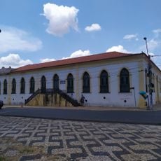
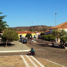
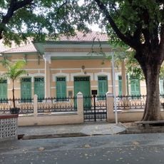
São João dos Patos is an administrative municipality in eastern Maranhão located in the northeastern region of Brazil. The town functions as a local government center providing services and public administration for its residents.
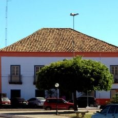
The municipality was established as a structured administrative division within the broader regional system of northeastern Brazil. Over time it developed its own local government and institutional frameworks to serve the community.
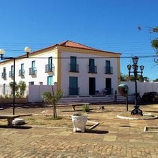
The town participates in regional celebrations and supports local artists through cultural funding programs. These initiatives help keep traditions alive and strengthen community bonds throughout the year.
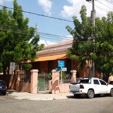
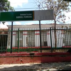
Residents and visitors can access information about local government services and administrative procedures through digital platforms. It helps to inquire ahead about available services and the location of main administrative offices.
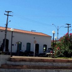
The name translates to Saint John of the Ducks, reflecting a historical connection to local wildlife and the environment. This distinctive naming reveals something about the settlement's past and the region's particular character.
Location: Maranhão
Elevation above the sea: 352 m
Shares border with: Paraibano, Barão de Grajaú, Guadalupe, Lagoa do Mato, Nova Iorque, Passagem Franca, Sucupira do Riachão
Website: http://saojoaodospatos.ma.gov.br
GPS coordinates: -6.49500,-43.70194
Latest update: December 7, 2025 19:27
Albertão
183.6 km
Palácio Karnak
184.8 km
Puente Metálico João Luis Ferreira
184.5 km
Museu do Piauí
184.6 km
Parque Potycabana
186.4 km
Cine Rex
184.7 km
Catedral Metropolitana Nossa Senhora das Dores
184.2 km
Mercado Central São José
184.5 km
Biblioteca Estadual do Piauí
185.2 km
Casa do Barão de Gurguéia
184.2 km
Casa da Dona Carlotinha
184.9 km
Quatro de Setembro Theater
184.7 km
Sobrado Major Selemérico
183 km
Casa do Visconde da Parnaíba
183.1 km
Casa do Cônego
183 km
Sobrado dos Ferraz
183 km
Ponte Zacarias de Góis e Vasconcellos
181.8 km
Antiga Intendência de Teresina
184.4 km
Igreja Nossa Senhora de Lourdes
183.6 km
Igreja de Nossa Senhora da Conceição
183 km
Clube dos Diários
184.7 km
Igreja Matriz de Nossa Senhora das Vitórias
183.2 km
Edifício Chagas Rodrigues –DER
185.7 km
Church of Our Lady of the Rosary of the Black People
183.3 km
Usina Maria Bonita
80.9 km
Grupo Escolar Gabriel Ferreira
183.7 km
Escola Normal Antonino Freire
184.6 km
Historic town centre of Oeiras
182.9 kmVisited this place? Tap the stars to rate it and share your experience / photos with the community! Try now! You can cancel it anytime.
Discover hidden gems everywhere you go!
From secret cafés to breathtaking viewpoints, skip the crowded tourist spots and find places that match your style. Our app makes it easy with voice search, smart filtering, route optimization, and insider tips from travelers worldwide. Download now for the complete mobile experience.
A unique approach to discovering new places❞
— Le Figaro
All the places worth exploring❞
— France Info
A tailor-made excursion in just a few clicks❞
— 20 Minutes