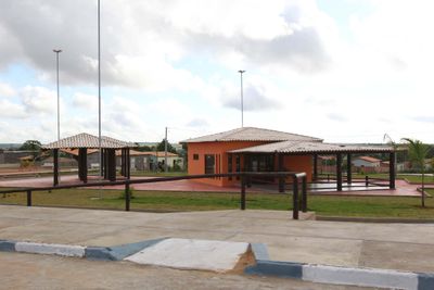
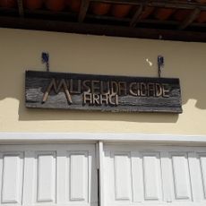
Cipó, Municipality in Bahia, Brazil
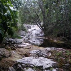
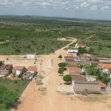
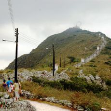
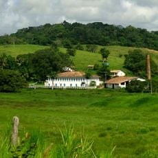
Cipó is a municipality in northeastern Bahia situated at about 156 meters elevation. The area sits in a semi-arid region where dry vegetation shapes the landscape and local settlement patterns.
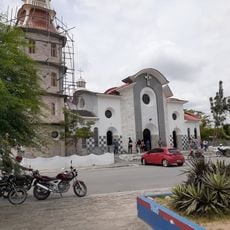
Cipó emerged as part of Brazil's administrative reorganization from colonial structures to modern municipalities. The town developed through gradual changes in territorial organization during the formation of contemporary Brazilian governance.
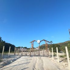
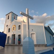
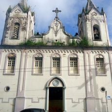
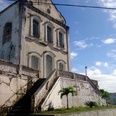
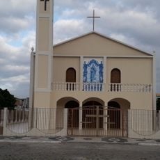
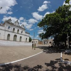
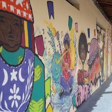
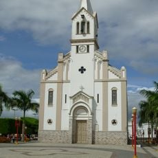
Local traditions blend Indigenous, Portuguese, and African influences through festivals and community gatherings that happen throughout the year. These celebrations shape how people connect with each other and mark important moments in their calendar.
The location has a semi-arid climate with temperatures ranging roughly between 23°C (73°F) and 35°C (95°F) depending on the season. Visitors should expect little rainfall and plan accordingly for the region's dry conditions.
The name comes from a climbing plant native to Brazil that was once common in the local vegetation. This naming choice reflects how strongly people connected natural features to the places they settled.
Location: Bahia
Elevation above the sea: 156 m
Shares border with: Tucano, Nova Soure, Itapicuru, Ribeira do Amparo
Website: https://cipo.ba.gov.br
GPS coordinates: -11.10000,-38.51694
Latest update: December 7, 2025 20:42
Bendegó meteorite
136.4 km
Serra de Itabaiana National Park
132.5 km
Estadio Eliel Martins
122.7 km
Antares Astronomical Observatory
136.5 km
Parque dos Falcões
130.6 km
Bela Vista
59.3 km
Cachoeira do Inferno
60.7 km
Senhora Sant'Ana Parish
117.7 km
Conjunto Arquitetônico, Urbanístico, Natural e Paisagístico da Serra do Monte Santo
116.7 km
Sertão Museum
132 km
Serra Branca / Raso da Catarina Environmental Protection Area
128.6 km
Resina
59.4 km
Fachadas Revestidas de Azulejos Portugueses--Rua Capitão Salomão nº. 67
119.3 km
Igreja Matriz de Nossa Senhora do Monte
124.8 km
Usina São Félix
118.5 km
Orient Cinemas Shopping Serrinha
83 km
Igreja de Nossa Senhora do Rosário
119.1 km
Parish Church of Santa Luzia do Itanhy
120 km
Igreja de Nossa Senhora da Conceição do Raso de Araci
55.7 km
Igreja Matriz do Senhor da Ascensão
50.8 km
Centro Cultural de Araci
55.8 km
Igreja e Cruzeiro – Crisópolis
60.8 km
Cine Laser Itabaiana
126.9 km
Orient Cinemas Feira de Santana
135.6 km
Mother Church of Nossa Senhora da Boa Hora and São Roque (Campo do Brito/SE)
118.5 km
Museum of the City of Araci
55.7 km
Igreja Matriz de Senhora Santana
87.2 km
Praça da Cultura e Juventude
55.7 kmVisited this place? Tap the stars to rate it and share your experience / photos with the community! Try now! You can cancel it anytime.
Discover hidden gems everywhere you go!
From secret cafés to breathtaking viewpoints, skip the crowded tourist spots and find places that match your style. Our app makes it easy with voice search, smart filtering, route optimization, and insider tips from travelers worldwide. Download now for the complete mobile experience.
A unique approach to discovering new places❞
— Le Figaro
All the places worth exploring❞
— France Info
A tailor-made excursion in just a few clicks❞
— 20 Minutes