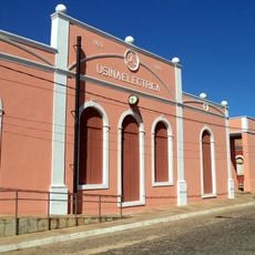
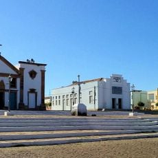
Valença do Piauí, Administrative municipality in Piauí, Brazil
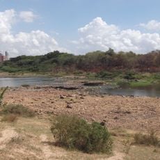
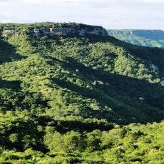
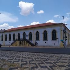
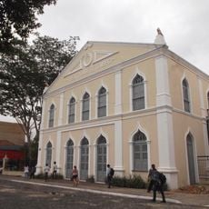
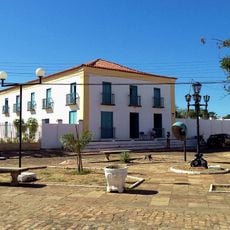
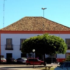
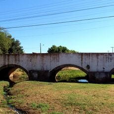
Valença do Piauí is an administrative municipality in the state of Piauí, located within the Centro-Norte region. The town sits within a rural landscape and maintains road connections to surrounding communities.
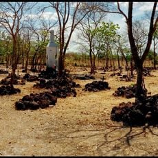
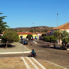
The settlement emerged as a trading point within Piauí and grew through agricultural activities in the region. Its role as a local center was reinforced by connections to nearby communities.
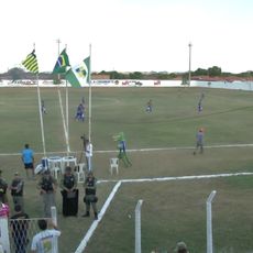
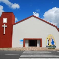
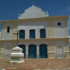
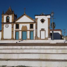
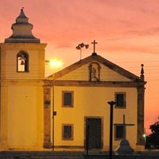
The town's identity centers on local celebrations where residents gather to share music, food, and traditions rooted in northeastern Brazilian culture. These occasions reveal how the community maintains its cultural ties through everyday social practices.
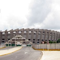
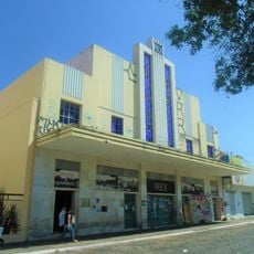
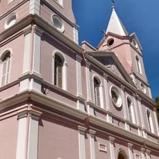
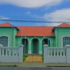
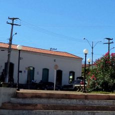
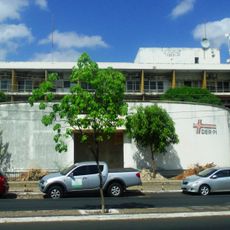
Visitors will find a small administrative center with basic services and shops for everyday needs. Travel is easiest during the dry season when road conditions are most stable.
The local economy relies heavily on cotton, maize, and bean cultivation in the surrounding fields. These crops shape daily life and provide work for many families in the area.
Location: Piauí
Elevation above the sea: 308 m
Shares border with: Pimenteiras, Elesbão Veloso, Aroazes
Website: http://valencadopiaui.pi.gov.br
GPS coordinates: -6.40778,-41.74583
Latest update: December 7, 2025 20:48
Albertão
184.7 km
Palácio Karnak
188.2 km
Floresta Fóssil de Teresina
186.9 km
Parque Potycabana
187.6 km
Cine Rex
188.3 km
Serra das Almas Private Natural Heritage Reserve
169.1 km
Catedral Metropolitana Nossa Senhora das Dores
188.1 km
Biblioteca Estadual do Piauí
188.3 km
Estádio Municipal Felipe Raulino
171 km
Casa do Barão de Gurguéia
188 km
Palmares National Forest
178.1 km
Quatro de Setembro Theater
188.3 km
Batalhão Cemetery
185.5 km
Sobrado Major Selemérico
80.3 km
Casa do Visconde da Parnaíba
80 km
Casa do Cônego
80.1 km
Sobrado dos Ferraz
80.1 km
Cinemas Teresina
187.4 km
Ponte Zacarias de Góis e Vasconcellos
77.9 km
Igreja Nossa Senhora de Lourdes
186.9 km
Igreja de Nossa Senhora da Conceição
79.8 km
Clube dos Diários
188.4 km
Igreja Matriz de Nossa Senhora das Vitórias
80.1 km
Edifício Chagas Rodrigues –DER
188 km
Church of Our Lady of the Rosary of the Black People
80.6 km
Grupo Escolar Gabriel Ferreira
186.9 km
Usina Maria Bonita
146.6 km
Historic town centre of Oeiras
80.2 kmVisited this place? Tap the stars to rate it and share your experience / photos with the community! Try now! You can cancel it anytime.
Discover hidden gems everywhere you go!
From secret cafés to breathtaking viewpoints, skip the crowded tourist spots and find places that match your style. Our app makes it easy with voice search, smart filtering, route optimization, and insider tips from travelers worldwide. Download now for the complete mobile experience.
A unique approach to discovering new places❞
— Le Figaro
All the places worth exploring❞
— France Info
A tailor-made excursion in just a few clicks❞
— 20 Minutes