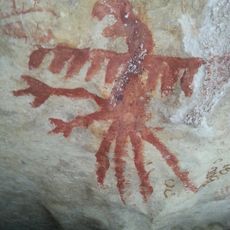
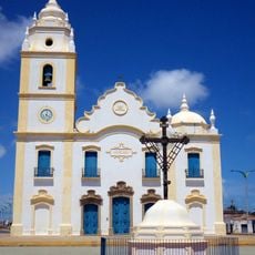
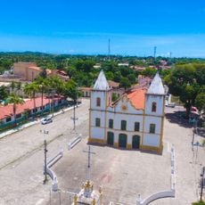
Icapuí, Municipality in eastern Ceará, Brazil
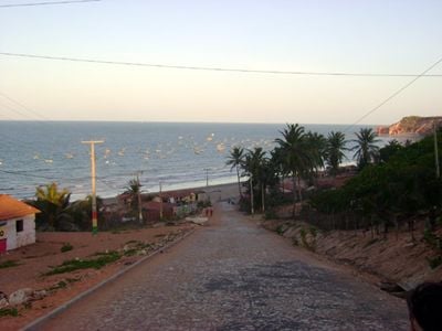
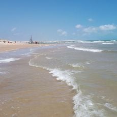
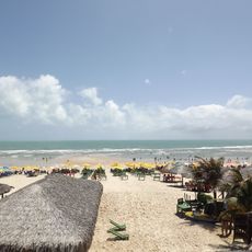
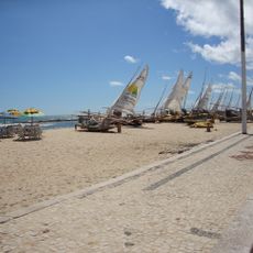
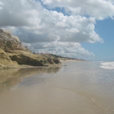
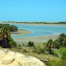
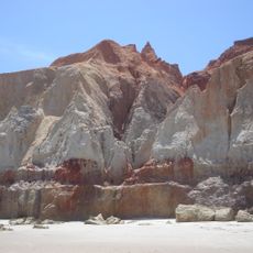
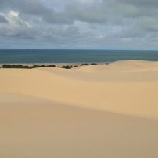
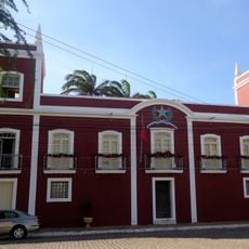
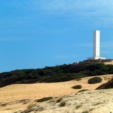
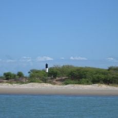
Icapuí is a municipality in eastern Ceará located along the northeast coast, stretching across long sandy beaches and coastal landscapes. The territory covers approximately 428 square kilometers where the shoreline defines much of the local geography.
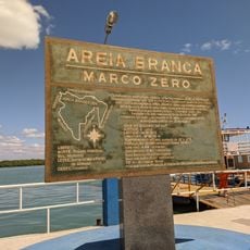
The municipality became an independent administrative unit in January 1984, when it separated from a larger region to form its own government. This event marked a key milestone in the development of eastern Ceará.
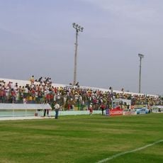
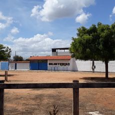
The municipality is recognized for its educational achievements and plays an important role in promoting literacy across the region. Schools and community centers serve as gathering places where residents connect and work together.
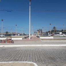
The area is easily accessible from the broader region and offers basic public services including schools, health centers, and administrative facilities. Most visitors navigate the area more easily by focusing on the coastal zones, where most activity and services are concentrated.
The municipality achieved notable educational success and pioneered literacy improvements among its population in ways that set it apart from neighboring communities. This accomplishment drew regional attention and changed how people viewed the area's development path.
Location: Ceará
Inception: 1984
Elevation above the sea: 56 m
Shares border with: Tibau, Aracati
GPS coordinates: -4.71278,-37.35500
Latest update: December 7, 2025 20:25
Beach Park
150.2 km
Canoa Quebrada
42.7 km
Praia de Águas Belas
117.8 km
Lajedo de Soledade
110.9 km
Memorial da Resistência Mossoroense
53.4 km
Praia de Caponga
119.8 km
Santa Cruz Dam
127.1 km
Praia das Fontes
100 km
Igreja Matriz de Nossa Senhora do Rosário
48.9 km
Furna Feia National Park
42.2 km
Mother Church of São José de Ribamar
146.2 km
Teatro Municipal Dix-Huit Rosado
53.2 km
Reserva de Desenvolvimento Sustentável Estadual Ponta do Tubarão
120.1 km
Prainha
144.3 km
Galinhos Lighthouse
125.3 km
Beberibe Cliffs Natural Monument
103.9 km
Environmental protection area of Dunas do Rosado
65.4 km
Town Hall and Prison
49.2 km
Stade Francisco Clenilson dos Santos
143.2 km
Prainha do Canto Verde Extractive Reserve
81.2 km
Ponta do Mel Lighthouse
59.8 km
Morro Branco Lighthouse
104.1 km
Pontal Light
34.4 km
Marco zero da cidade de Areia Branca
36.3 km
Parque Estrela
141.1 km
Igreja de Nossa Senhora do Rosário dos Pretos (Aracati)
49 km
Igreja de Nossa Senhora dos Prazeres
49 km
Cine Pax, Mossoró
53.5 kmVisited this place? Tap the stars to rate it and share your experience / photos with the community! Try now! You can cancel it anytime.
Discover hidden gems everywhere you go!
From secret cafés to breathtaking viewpoints, skip the crowded tourist spots and find places that match your style. Our app makes it easy with voice search, smart filtering, route optimization, and insider tips from travelers worldwide. Download now for the complete mobile experience.
A unique approach to discovering new places❞
— Le Figaro
All the places worth exploring❞
— France Info
A tailor-made excursion in just a few clicks❞
— 20 Minutes