
Randibreen, Gletscher im Süden der subantarktischen Bouvetinsel (Norwegen)
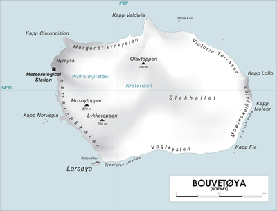
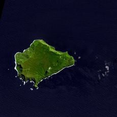
Location: Bouvet Island
Elevation above the sea: 152 m
GPS coordinates: -54.44361,3.39333
Latest update: April 8, 2025 13:39
Inaccessible Island
2266.7 km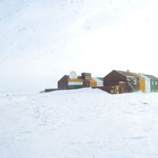
Dakshin Gangotri
1794.1 km
Tristan da Cunha
2269.5 km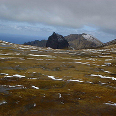
Gough and Inaccessible Islands
2267.2 km
Princess Elisabeth Antarctica
2166.4 km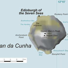
Sandy Point, Tristan da Cunha
2266.7 km
Mount Michael
1875.4 km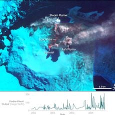
Mount Belinda
1868 km
Olav Peak
5 km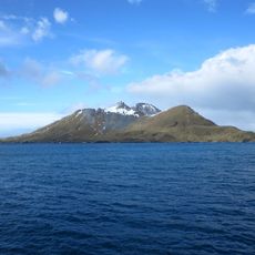
Cooper Island
2492.2 km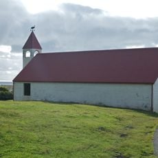
St. Joseph Church, Edinburgh of the Seven Seas
2275.3 km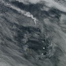
Mount Asphyxia
1954.2 km
Horntvedt Glacier
4.1 km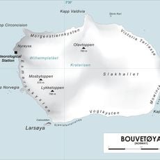
Christensen Glacier
2.6 km
Posadowsky Glacier
3.5 km
Twitcher Rock
1924.5 km
Mosbytoppane
6 km
Mount Olav
2269.6 km
Freezland Rock
1891 km
Inaccessible Island house
2268.7 km
Grindle Rock
1884.3 km
Lykketoppen
5.2 km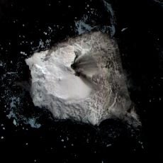
Mount Oceanite
1863.3 km
Mount Larsen
1929.3 km
Ferguson Peak
2497.3 km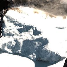
Mount Holdgate
1917.9 km
Saw Rock
1896.8 km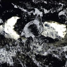
Golfo Caldera
1924.4 kmReviews
Visited this place? Tap the stars to rate it and share your experience / photos with the community! Try now! You can cancel it anytime.
Discover hidden gems everywhere you go!
From secret cafés to breathtaking viewpoints, skip the crowded tourist spots and find places that match your style. Our app makes it easy with voice search, smart filtering, route optimization, and insider tips from travelers worldwide. Download now for the complete mobile experience.

A unique approach to discovering new places❞
— Le Figaro
All the places worth exploring❞
— France Info
A tailor-made excursion in just a few clicks❞
— 20 Minutes