
Langklipkrans, cliff in Western Cape, South Africa
Location: Western Cape
Elevation above the sea: 5 m
GPS coordinates: -34.66278,20.23333
Latest update: March 9, 2025 18:15
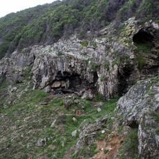
Blombos Cave
94.5 km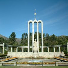
Huguenot Monument (Franschhoek)
131.7 km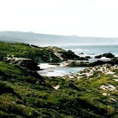
De Hoop Nature Reserve
41.5 km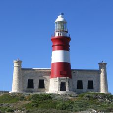
Cape Agulhas Lighthouse
27.7 km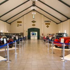
Franschhoek Motor Museum
131.7 km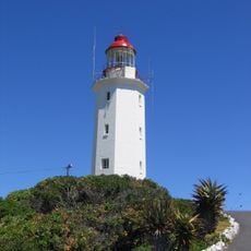
Danger Point Lighthouse
85.3 km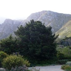
Harold Porter National Botanical Garden
124.7 km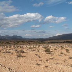
Anysberg Nature Reserve
132.4 km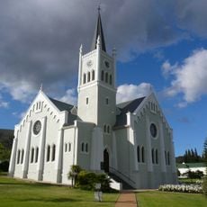
Nederduits Gereformeerde Kerk
95.8 km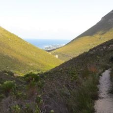
Fernkloof Nature Reserve
92.6 km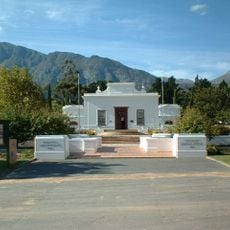
Huguenot Memorial Museum
131.8 km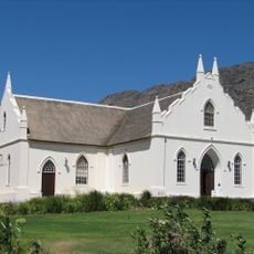
Dutch Reformed Church
132.4 km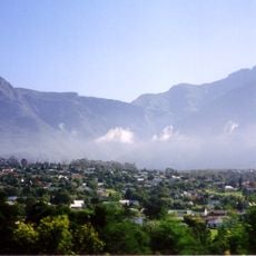
Marloth Nature Reserve
79.3 km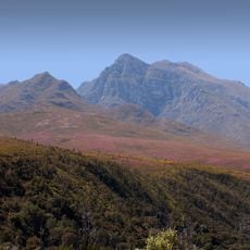
Boosmansbos Wilderness Area
100.9 km
Walker Bay Nature Reserve
81.9 km
Caledon Museum
88.1 km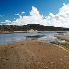
De Mond Nature Reserve
12.8 km
Houw Hoek Inn
111.7 km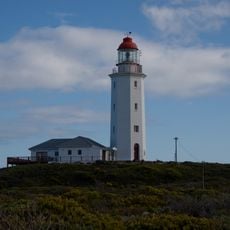
Danger Point (Südafrika)
86.3 km
Dutch Reformed Church, Montagu
98.1 km
Church of St James the Great, Worcester
134.5 km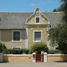
Moravian Mission Museum
91.7 km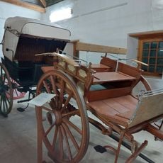
Drostdy Museum
74.5 km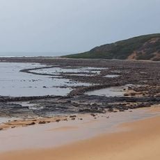
Stilbaai Tidal Fish Traps
112.1 km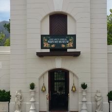
First South African Perfume Museum
131.7 km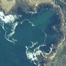
Container Bay
135.6 km
Blouklip
135.3 km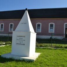
Emancipation Memorial
44.1 kmReviews
Visited this place? Tap the stars to rate it and share your experience / photos with the community! Try now! You can cancel it anytime.
Discover hidden gems everywhere you go!
From secret cafés to breathtaking viewpoints, skip the crowded tourist spots and find places that match your style. Our app makes it easy with voice search, smart filtering, route optimization, and insider tips from travelers worldwide. Download now for the complete mobile experience.

A unique approach to discovering new places❞
— Le Figaro
All the places worth exploring❞
— France Info
A tailor-made excursion in just a few clicks❞
— 20 Minutes