
Hamerkop, Berggipfel in Südafrika
Location: Western Cape
Elevation above the sea: 303 m
GPS coordinates: -34.41310,20.67400
Latest update: March 14, 2025 22:15
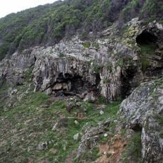
Blombos Cave
50 km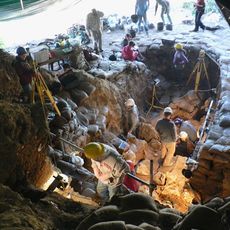
Pinnacle Point
132.1 km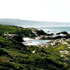
De Hoop Nature Reserve
7.6 km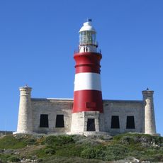
Cape Agulhas Lighthouse
76.5 km
Post Office Tree, Mossel Bay
137.4 km
Gondwana Game Reserve
119.7 km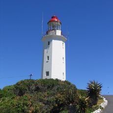
Danger Point Lighthouse
128.1 km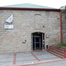
Bartolomeu Dias Museum Complex
137.5 km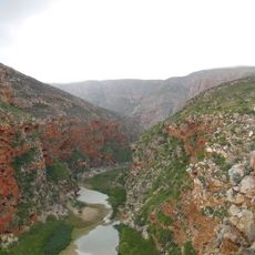
Buffelspoort
113 km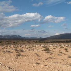
Anysberg Nature Reserve
99.9 km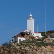
Cape St. Blaize Lighthouse
138.7 km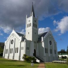
Nederduits Gereformeerde Kerk
56.9 km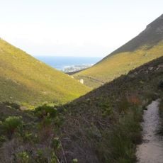
Fernkloof Nature Reserve
127.9 km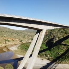
Gouritz River Bridge
102.4 km
Marloth Nature Reserve
55.1 km
Gamkaberg Nature Reserve
117.4 km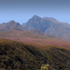
Boosmansbos Wilderness Area
56.9 km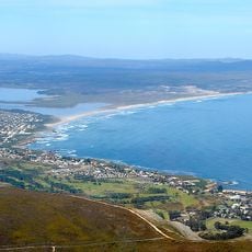
Walker Bay Nature Reserve
120.3 km
Caledon Museum
116.2 km
De Mond Nature Reserve
61.7 km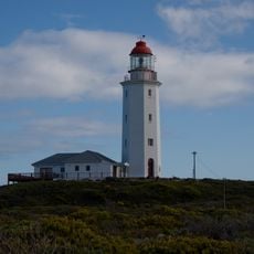
Danger Point (Südafrika)
129.1 km
Dutch Reformed Church, Montagu
86.5 km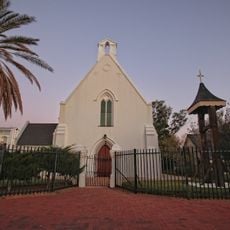
Church of St James the Great, Worcester
141.9 km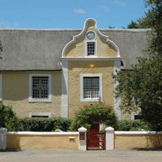
Moravian Mission Museum
109.6 km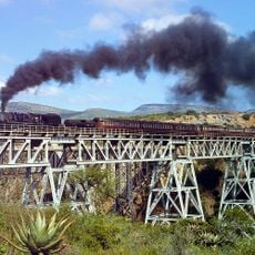
Bridges over the Gourits River
102.5 km
Drostdy Museum
48.4 km
Moordkuil River
138.8 km
Stilbaai Tidal Fish Traps
67.8 kmReviews
Visited this place? Tap the stars to rate it and share your experience / photos with the community! Try now! You can cancel it anytime.
Discover hidden gems everywhere you go!
From secret cafés to breathtaking viewpoints, skip the crowded tourist spots and find places that match your style. Our app makes it easy with voice search, smart filtering, route optimization, and insider tips from travelers worldwide. Download now for the complete mobile experience.

A unique approach to discovering new places❞
— Le Figaro
All the places worth exploring❞
— France Info
A tailor-made excursion in just a few clicks❞
— 20 Minutes