Tropic of Capricorn, Latitude circle at 23.5 degrees south in Southern Hemisphere
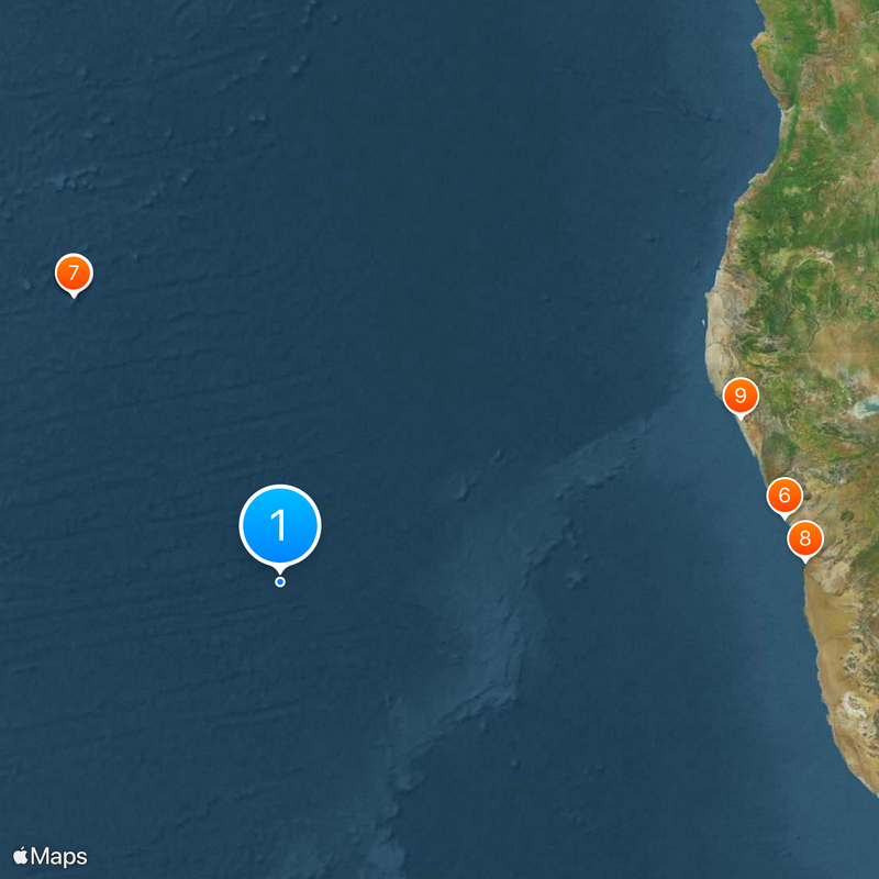
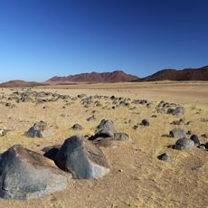
This latitude circle runs roughly 1600 miles (2600 kilometers) south of the equator through ten countries and marks the southern boundary of the tropical zone. The line crosses deserts, grasslands and coastal regions, with monuments and markers placed at various points along its path.
Early seafarers named this circle after the constellation Capricornus, where the sun appeared during the winter solstice centuries ago. Later expeditions used the line as a reference point when mapping the southern hemisphere.
Communities along this line time their planting and harvests according to the sun's position, which visitors can still see reflected in local farming calendars. Seasonal festivals often coincide with the solstice period, when daylight reaches its highest point overhead.
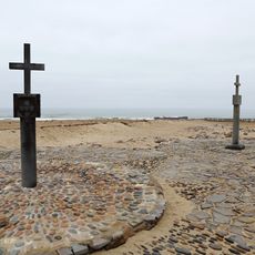
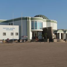
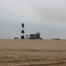
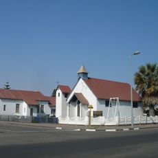
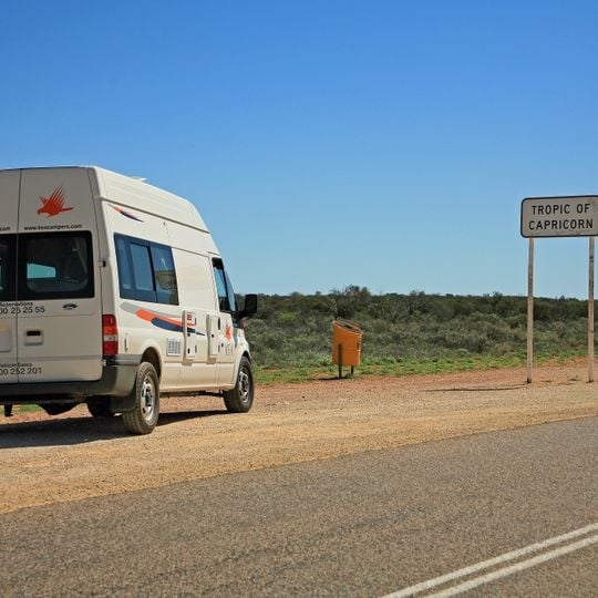
Travelers find markers and monuments along the line in countries like Namibia, Australia and Chile, often placed near main roads or coastal viewpoints. The best time to visit is around December 21, when the sun passes directly overhead at midday.
The position of this line shifts northward by roughly 50 feet (15 meters) each year because of slow changes in the planet's axial tilt. Over long periods, it moves back and forth between 22 and 24 degrees south.
The community of curious travelers
AroundUs brings together thousands of curated places, local tips, and hidden gems, enriched daily by 91,940 contributors worldwide.