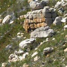
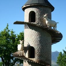
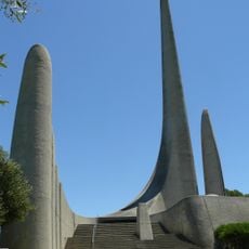
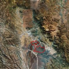
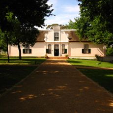
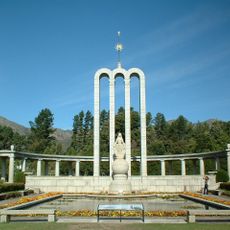
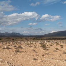
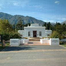
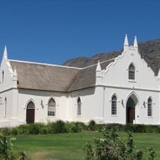
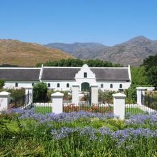
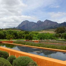
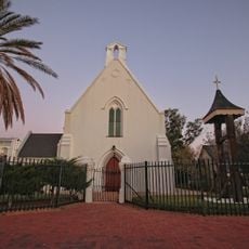
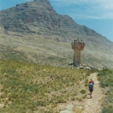
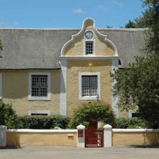
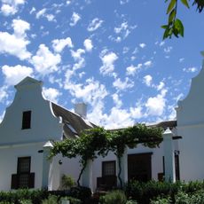
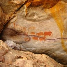
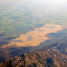
Witzenberg Local Municipality, local municipality in the Western Cape, South Africa
The community of curious travelers
AroundUs brings together thousands of curated places, local tips, and hidden gems, enriched daily by 60,000 contributors worldwide.
Location
Inception
December 5, 2000
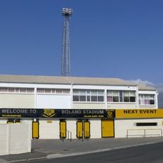
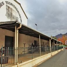
Capital city
Ceres
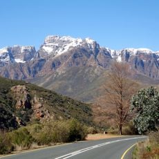
Elevation above the sea
637 m
Shares border with
Hantam Local Municipality, Karoo Hoogland Local Municipality, Laingsburg Local Municipality, Breede Valley Local Municipality, Drakenstein Local Municipality, Bergrivier Local Municipality, Cederberg Local Municipality
GPS coordinates
-33.00000,19.66667
Latest update
March 3, 2025 07:57