Olifants River, River system in Western Cape, South Africa
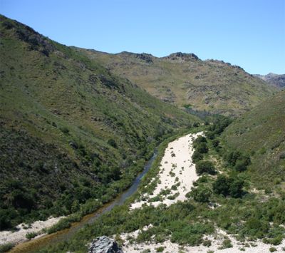
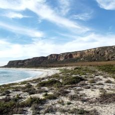
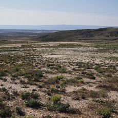
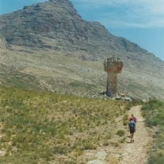
The Olifants River flows through a deep valley from the Cederberg mountains to the Atlantic coast at Papendorp, stretching about 285 kilometers. The water system feeds irrigation networks that supply farms and communities across the northwestern region of the Western Cape.
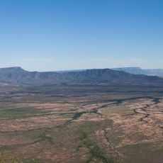
The river valley was transformed by the construction of Clanwilliam Dam in the early 20th century, which allowed water storage for farming. This infrastructure development turned the area from sparsely settled land into a significant agricultural hub.
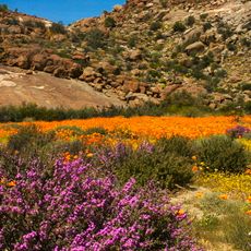
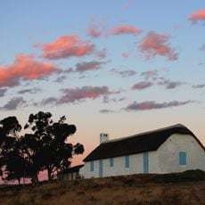
Communities living along this waterway have built their economies around citrus farming and viticulture for many generations. These agricultural practices shape how people work, trade, and gather in towns like Clanwilliam and Citrusdal.
The dry season offers the best viewing conditions, when water levels are lower and rock formations at the mouth are easier to see. Visitors who want to explore or swim should check conditions beforehand, as currents and vegetation vary with the seasons.
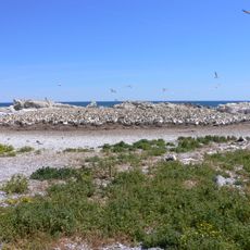
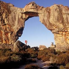
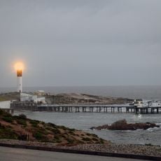
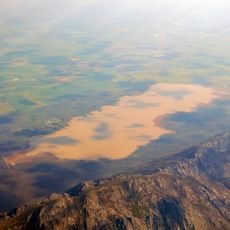
Near Papendorp the river splits into two channels that flow around a central island, creating unusual rock formations. This natural feature develops where river currents meet coastal erosion patterns.
The community of curious travelers
AroundUs brings together thousands of curated places, local tips, and hidden gems, enriched daily by 60,000 contributors worldwide.