
Matzikama Local Municipality, local municipality in the Western Cape, South Africa
Location: West Coast District Municipality
Inception: December 5, 2000
Capital city: Vredendal
Elevation above the sea: 275 m
Shares border with: Kamiesberg Local Municipality, Hantam Local Municipality, Cederberg Local Municipality
GPS coordinates: -31.25000,18.50000
Latest update: March 13, 2025 06:10
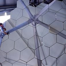
Southern African Large Telescope
252 km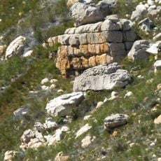
Cederberg
132.6 km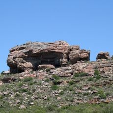
Diepkloof Rock Shelter
126.6 km
Tankwa Karoo National Park
162.5 km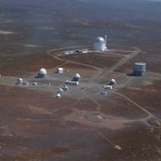
South African Astronomical Observatory
298.8 km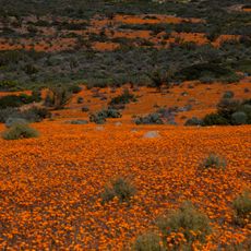
Namaqua National Park
132.2 km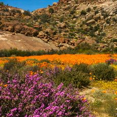
Goegap Nature Reserve
182.8 km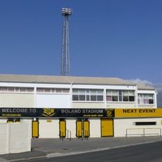
Boland Stadium
269.2 km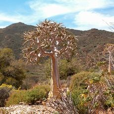
Karoo Desert National Botanical Garden
278.1 km
Soom Shale
107.8 km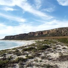
Mussel Point
122.2 km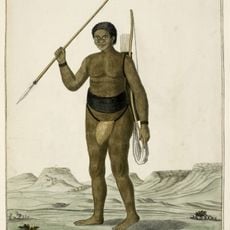
Roggeveld
235 km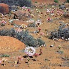
Hantam National Botanical Garden
65.8 km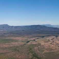
Oorlogskloof Nature Reserve
65.7 km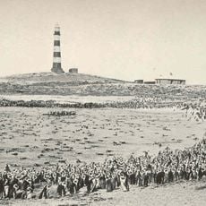
Dassen Island Lighthouse
246 km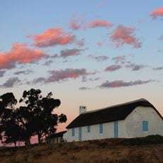
Verlorenvlei Heritage Settlement
120.7 km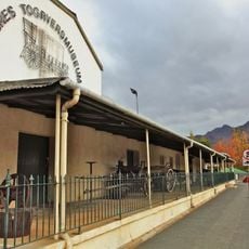
Ceres Transport Riders’ Museum
228.5 km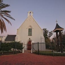
Church of St James the Great, Worcester
281.1 km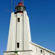
Cape Columbine Lighthouse
185.9 km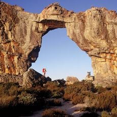
Cederberg Wilderness Area
134 km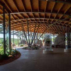
!Khwa ttu
236.1 km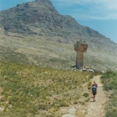
Sneeuberg
146.4 km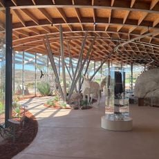
!Khwa ttu Nature Reserve
237 km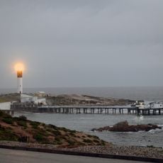
Doringbaai Lighthouse
68 km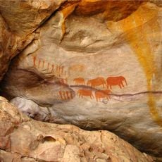
Stadsaal Caves
161.4 km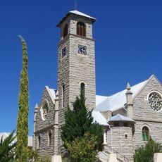
Klipkerk
185.9 km
Voëlvlei Reservoir
240.9 km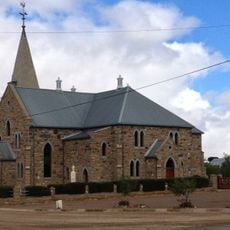
Dutch Reformed Church, Williston
230.1 kmReviews
Visited this place? Tap the stars to rate it and share your experience / photos with the community! Try now! You can cancel it anytime.
Discover hidden gems everywhere you go!
From secret cafés to breathtaking viewpoints, skip the crowded tourist spots and find places that match your style. Our app makes it easy with voice search, smart filtering, route optimization, and insider tips from travelers worldwide. Download now for the complete mobile experience.

A unique approach to discovering new places❞
— Le Figaro
All the places worth exploring❞
— France Info
A tailor-made excursion in just a few clicks❞
— 20 Minutes