Oudtshoorn, Agricultural town in Little Karoo region, South Africa.
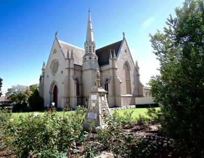
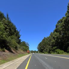
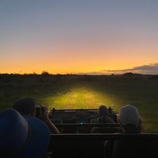
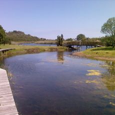
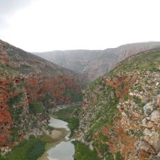
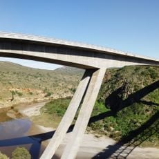
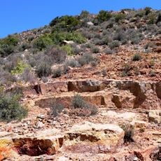
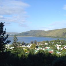
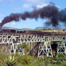
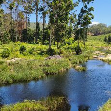
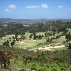
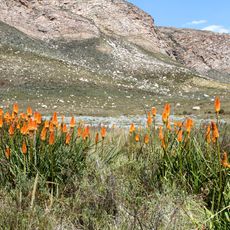
Oudtshoorn is a town in the Little Karoo region, situated between the Swartberg and Outeniqua Mountains along the Grobbelaars River in the Western Cape. The landscape around town shows extensive farms that shape the character and economy of the community.
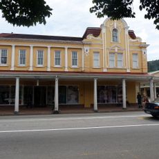
The settlement was established in 1847 and named after Baron van Rheede van Oudtshoorn in 1863, gaining official town status in 1887. This progression shows how the place developed from an early farming community into a recognized agricultural and trade centre.
The Klein Karoo Nasionale Kunstefees festival celebrates local theatre and music in the Afrikaans language, bringing performers and audiences together to showcase regional traditions. Walking through town during performances, you notice how these events connect people to their language and creative heritage.
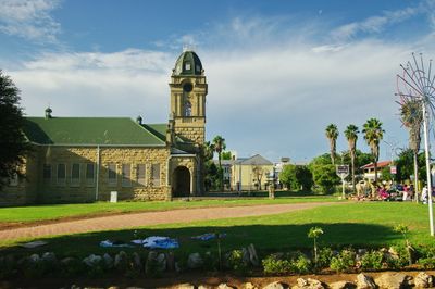
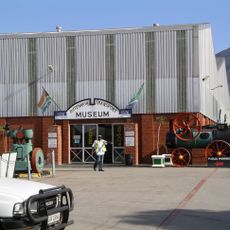
The C.P. Nel Museum displays pioneer antiques and tells the story of early life in the region, while ostrich farm tours show visitors the working side of the local agriculture. Plan enough time to explore, as farms are spread across the surrounding landscape.
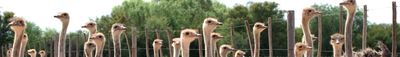
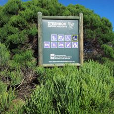
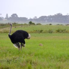
The town is the global center of ostrich farming with around 400 farms producing birds, feathers, and leather goods. This concentration makes it the only place in the world where you can see the entire ostrich production chain from raising to finished products.
The community of curious travelers
AroundUs brings together thousands of curated places, local tips, and hidden gems, enriched daily by 60,000 contributors worldwide.