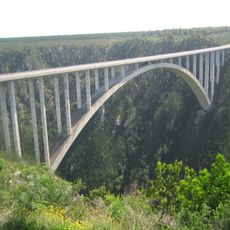
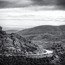
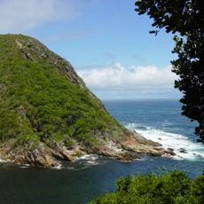
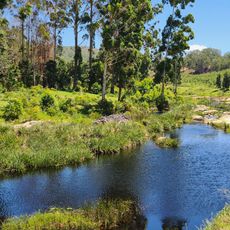
George Local Municipality, local municipality in the Western Cape, South Africa
The community of curious travelers
AroundUs brings together thousands of curated places, local tips, and hidden gems, enriched daily by 60,000 contributors worldwide.
Location
Inception
December 5, 2000
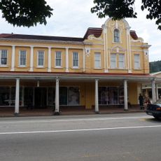
Capital city
George
Elevation above the sea
669 m
Shares border with
Mossel Bay Local Municipality, Oudtshoorn Local Municipality, Baviaans Local Municipality, Kou-Kamma Local Municipality, Bitou Local Municipality, Knysna Local Municipality
GPS coordinates
-33.75000,22.83333
Latest update
March 22, 2025 18:45