
Kai ǃGarib Local Municipality, local municipality in the Northern Cape, South Africa
Location: ZF Mgcawu District Municipality
Inception: December 5, 2000
Capital city: Kakamas
Elevation above the sea: 887 m
Shares border with: Hantam Local Municipality, Khâi-Ma Local Municipality
GPS coordinates: -28.70000,20.96667
Latest update: March 6, 2025 09:47
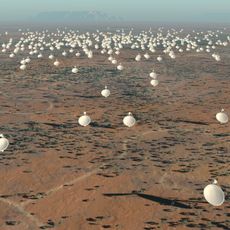
Square Kilometre Array
229.1 km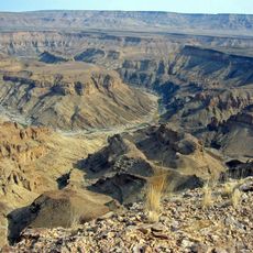
Fish River Canyon
349.8 km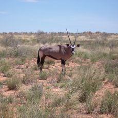
Kgalagadi Transfrontier Park
331.6 km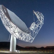
MeerKAT
228.8 km
Augrabies Falls
62.3 km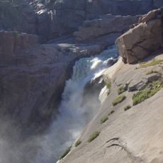
Augrabies Falls National Park
62.6 km
Tswalu Kalahari Reserve
215.2 km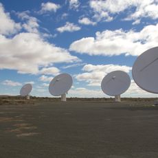
KAT-7
229 km
Goegap Nature Reserve
307.8 km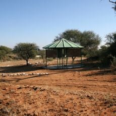
Canteen Kopje
348.7 km
Kalahari Gemsbok National Park
341.6 km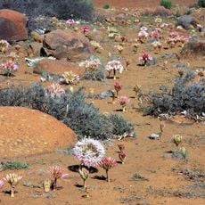
Hantam National Botanical Garden
346.6 km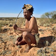
Khomani Cultural Landscape
340.4 km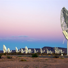
South African Radio Astronomy Observatory
228.8 km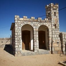
Historical Gateways
220.1 km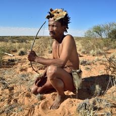
ǀXam and ǂKhomani heartland
340.4 km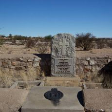
Edward Cook's Commemorative Stone
220.5 km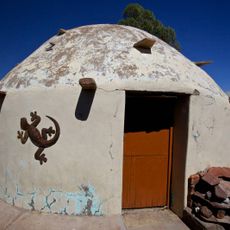
Stone Rondavel
237 km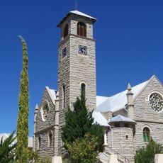
Klipkerk
318.2 km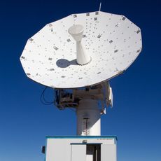
C-BASS South
271.1 km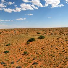
Kieliekrankie Wilderness Camp
282.6 km
Boesmansvlei
188.2 km
Gapützpan
146 km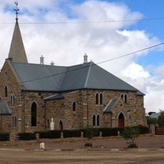
Dutch Reformed Church, Williston
294 km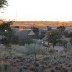
Twee Rivieren Camp
250.6 km
Black Pan
206 km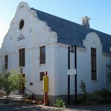
Carnarvon Museum
276.5 km
Gannapan
153.5 kmReviews
Visited this place? Tap the stars to rate it and share your experience / photos with the community! Try now! You can cancel it anytime.
Discover hidden gems everywhere you go!
From secret cafés to breathtaking viewpoints, skip the crowded tourist spots and find places that match your style. Our app makes it easy with voice search, smart filtering, route optimization, and insider tips from travelers worldwide. Download now for the complete mobile experience.

A unique approach to discovering new places❞
— Le Figaro
All the places worth exploring❞
— France Info
A tailor-made excursion in just a few clicks❞
— 20 Minutes