
UMhlabuyalingana Local Municipality
UMhlabuyalingana Local Municipality, human settlement in South Africa
Location: Umkhanyakude District Municipality
Inception: December 5, 2000
Capital city: Manguzi
Elevation above the sea: 86 m
GPS coordinates: -27.01667,32.73333
Latest update: April 15, 2025 08:01
ISimangaliso Wetland Park
111.9 km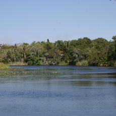
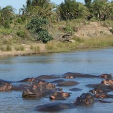
Kosi Bay
10.1 km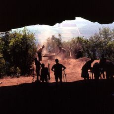
Border Cave
73.8 km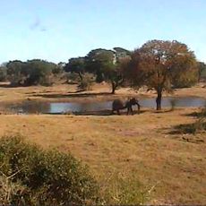
Tembe Elephant Park
31.1 km
Maputo Fortress
117.1 km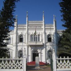
Natural History Museum of Mozambique
116.6 km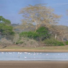
Ndumo Game Reserve
48.1 km
Palácio da Ponta Vermelha
116.2 km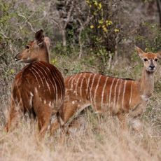
UMkhuze Game Reserve
85.2 km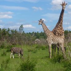
Maputo Special Reserve
52.3 km
Vila Algarve
116.9 km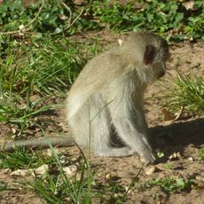
Sodwana Bay National Park
58.5 km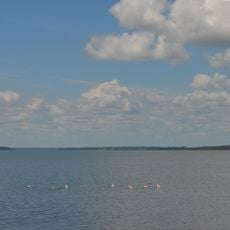
False Bay Park
112.9 km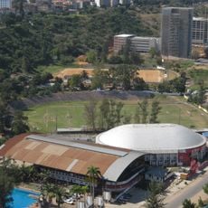
Maxaquene Stadium
117 km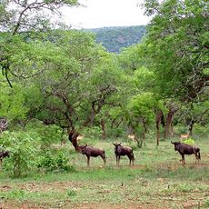
Mlawula Nature Reserve
113.7 km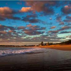
Maputo Protection Area
30.4 km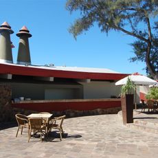
Restaurante Zambi
116.4 km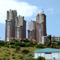
Torres Vermelhas (Maputo)
116.3 km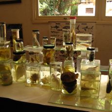
Estação de Biologia Marítima
110.2 km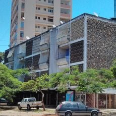
Edifício Dragão
116.9 km
Synagogue of Maputo
116.9 km
Catedral Ortodoxa Arcangel Micael e Gabriel (Maputo)
116.8 km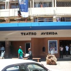
Teatro Avenida
117.1 km
Geology Museum
116.8 km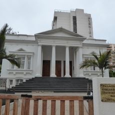
Palácio dos Casamentos
116.8 km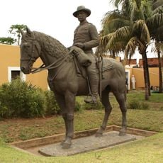
Statue of Mouzinho de Albuquerque (Maputo)
117.1 km
Zimanga Private Game Reserve
95.2 km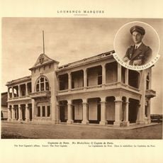
Capitania de Maputo
116.9 kmReviews
Visited this place? Tap the stars to rate it and share your experience / photos with the community! Try now! You can cancel it anytime.
Discover hidden gems everywhere you go!
From secret cafés to breathtaking viewpoints, skip the crowded tourist spots and find places that match your style. Our app makes it easy with voice search, smart filtering, route optimization, and insider tips from travelers worldwide. Download now for the complete mobile experience.

A unique approach to discovering new places❞
— Le Figaro
All the places worth exploring❞
— France Info
A tailor-made excursion in just a few clicks❞
— 20 Minutes