
Blouberg Local Municipality, local municipality in Limpopo, South Africa
Location: Capricorn District Municipality
Inception: December 5, 2000
Capital city: Senwabarwana
Elevation above the sea: 863 m
Website: http://www.blouberg.gov.za/
Website: http://blouberg.gov.za
GPS coordinates: -23.13920,29.00130
Latest update: April 3, 2025 04:47
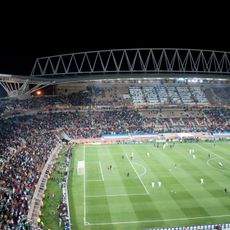
Peter Mokaba Stadium
99.6 km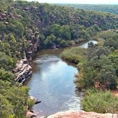
Waterberg Biosphere
135.8 km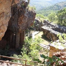
Vallée de Makapan
114.2 km
Warmbaths, A Forever Resort
207.7 km
Mabula Game Reserve
208.4 km
Mabalingwe Game Reserve
212 km
Alfred Beit Road Bridge
143.6 km
Welgevonden Game Reserve
163.1 km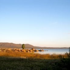
North-South Carrier
193.9 km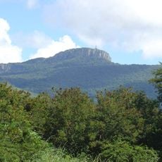
Hanglip
91.7 km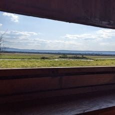
Nylsvley Nature Reserve
171.6 km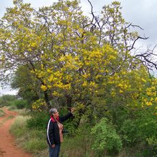
Blouberg Nature Reserve
17 km
Paisaje cultural de Mapungubwe
96.1 km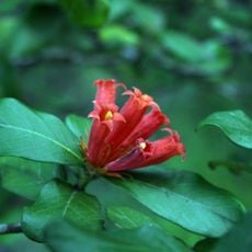
Wolkberg Wilderness Area
151.1 km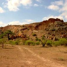
Venetia Limpopo Nature Reserve
95.4 km
Nwanedi Provincial Park
154.3 km
Ben Lavin Nature Reserve
100.3 km
Openair Snakepark Polokwane
98 km
Eventeria
128.2 km
Northern Tuli Game Reserve
109.7 km
Elephant Castle Area
89.5 km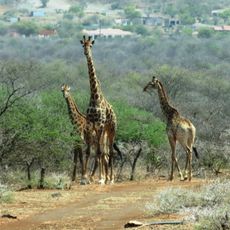
Potlake Nature Reserve
154.2 km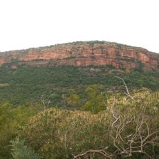
Moepel Nature Reserve
85.6 km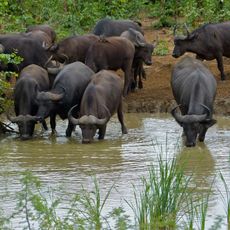
Punda Maria
212.7 km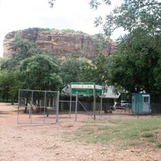
Masebe Nature Reserve
71.1 km
Waterberg Natuurpraal
113.2 km
Rietspruit
78.3 km
Morning Sun Nature Reserve
96.3 kmReviews
Visited this place? Tap the stars to rate it and share your experience / photos with the community! Try now! You can cancel it anytime.
Discover hidden gems everywhere you go!
From secret cafés to breathtaking viewpoints, skip the crowded tourist spots and find places that match your style. Our app makes it easy with voice search, smart filtering, route optimization, and insider tips from travelers worldwide. Download now for the complete mobile experience.

A unique approach to discovering new places❞
— Le Figaro
All the places worth exploring❞
— France Info
A tailor-made excursion in just a few clicks❞
— 20 Minutes