
Molemole Local Municipality, municipality in South Africa
Location: Capricorn District Municipality
Inception: December 5, 2000
Capital city: Dendron
Elevation above the sea: 1,075 m
Website: http://www.molemole.gov.za/
Website: http://molemole.gov.za
GPS coordinates: -23.50000,29.58330
Latest update: March 9, 2025 14:57
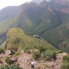
Blyde River Canyon
171.8 km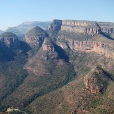
Blyde River Canyon Nature Reserve
162.8 km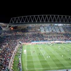
Peter Mokaba Stadium
48.7 km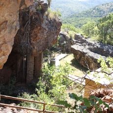
Vallée de Makapan
83.4 km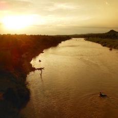
Balule Nature Reserve
164.2 km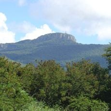
Hanglip
63.9 km
Nylsvley Nature Reserve
157.3 km
Blouberg Nature Reserve
73.1 km
Paisaje cultural de Mapungubwe
126.3 km
Wolkberg Wilderness Area
80.7 km
Venetia Limpopo Nature Reserve
138.9 km
Nwanedi Provincial Park
127.9 km
Ben Lavin Nature Reserve
56.9 km
Northern Tuli Game Reserve
156.3 km
Elephant Castle Area
158.7 km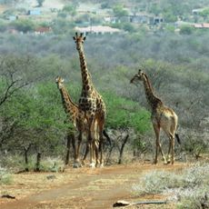
Potlake Nature Reserve
89.3 km
Masorini
177.9 km
Moepel Nature Reserve
112.8 km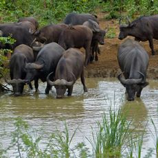
Punda Maria
172.3 km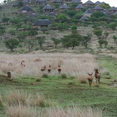
Kleinfontein
164.6 km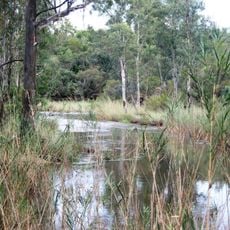
Waterberg Natuurpraal
132 km
Masebe Nature Reserve
103.4 km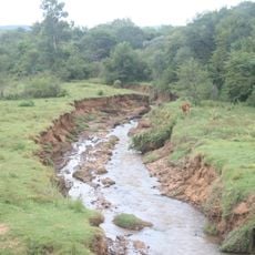
Rietspruit
113.7 km
Masorini Archaeological Site
178 km
Voortrekkerbad
162.7 km
Morning Sun Nature Reserve
70.9 km
Musina Nature Reserve
132 km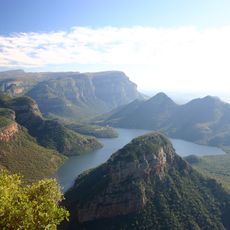
Blyderivierpoort Reservoir
170.2 kmReviews
Visited this place? Tap the stars to rate it and share your experience / photos with the community! Try now! You can cancel it anytime.
Discover hidden gems everywhere you go!
From secret cafés to breathtaking viewpoints, skip the crowded tourist spots and find places that match your style. Our app makes it easy with voice search, smart filtering, route optimization, and insider tips from travelers worldwide. Download now for the complete mobile experience.

A unique approach to discovering new places❞
— Le Figaro
All the places worth exploring❞
— France Info
A tailor-made excursion in just a few clicks❞
— 20 Minutes