Chest opened
+${chestReward.xp} XP
Explorer
NOUVEAU ×${chestReward.collectible.quantity}
tapez pour fermer

See the monuments around you in AR Open chests in the app

Around Us is built for your phone — point your camera at the streets and discover the monuments and places around you in augmented reality. Around Us is built for your phone — chests unlock when you walk, explore and capture nearby places.

Enable Location

We need your location to show you interesting places around you

Discover nearby places

Find interesting locations and hidden gems around you

Precise directions

Get accurate directions and distances to places

Your location is never shared with other users. It's only used when you tap the location button.

Log in to your account

Start exploring — it's free

Trusted by 86,233 travelers worldwide

Continue with Google
Continue with Apple
or

We will send you a code to connect

By continuing, you accept our Terms and Conditions and our Privacy Policy

Check your inbox

We've sent a pincode in your inbox. Please enter the code below.

Lukunga River
Discussion Reviews Photo
1.1k Popularity

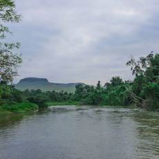
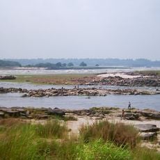
Lukunga River, River system in Ngaliema district, Kinshasa, Democratic Republic of the Congo

The Lukunga is a river in Kinshasa that flows through several kilometers of the city, averaging 2 meters in depth and about 10 meters in width. It receives water from tributary streams and supports the water supply system for the urban area.

The city recognized the river's value as a water source early on, building a treatment facility at Kinsuka in 1939. This infrastructure became the foundation for modern water supply to the urban settlement.

The river marks a boundary between neighborhoods where fishing remains a daily practice for residents who maintain ancestral methods. This work shapes the everyday rhythm of life along the banks.

The riverbanks are accessible from several public points along the city, with morning hours offering the best experience to observe local activity. Bank conditions vary by season, so visiting in daylight and with others is advisable.

The river is fed by two smaller watercourses that flow from different elevations, bringing together separate ecosystems. This mixture of sources gives the river its particular water composition.

The community of curious travelers

AroundUs brings together thousands of curated places, local tips, and hidden gems, enriched daily by 60,000 contributors worldwide.
Start exploring
Location
GPS coordinates
-4.34611,15.20556
Latest update
September 12, 2026 20:15
Around this place
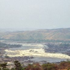
Livingstone Falls
Congo

Livingstone Falls

1.7 mi
Inga Falls
Congo, Democratic Republic of the

Inga Falls

135 mi
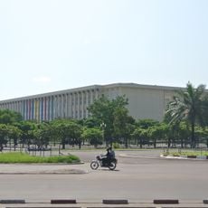
Palace of the Nation
Congo, Democratic Republic of the

Palace of the Nation

6 mi
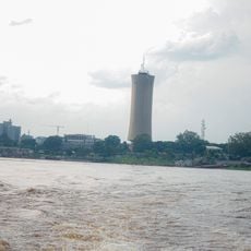
Tour de l'Échangeur de Limete
Congo, Democratic Republic of the

Tour de l'Échangeur de Limete

9.8 mi
Nsele Valley Park
Congo, Democratic Republic of the

Nsele Valley Park

29.9 mi
National Museum of the Democratic Republic of Congo
Congo, Democratic Republic of the

National Museum of the Democratic Republic of Congo

6.5 mi
Palais du Peuple
Congo, Democratic Republic of the

Palais du Peuple

6.8 mi
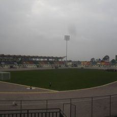
Stade Municipal de Kintélé
Congo

Stade Municipal de Kintélé

15.6 mi
Nabemba Tower
Congo

Nabemba Tower

7.7 mi
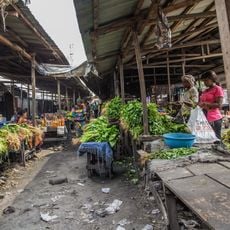
Central Market, Kinshasa
Congo, Democratic Republic of the

Central Market, Kinshasa

7.8 mi
Kisantu Botanical garden
Congo, Democratic Republic of the

Kisantu Botanical garden

55.4 mi
Basilique Sainte-Anne-du-Congo de Brazzaville
Congo

Basilique Sainte-Anne-du-Congo de Brazzaville

7.6 mi
Zongo Falls
Congo, Democratic Republic of the

Zongo Falls

36.3 mi
Mont Mangengenge
Congo, Democratic Republic of the

Mont Mangengenge

22.8 mi
Case de Gaulle
Congo

Case de Gaulle

5.6 mi
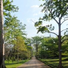
Kinshasa botanical garden
Congo, Democratic Republic of the

Kinshasa botanical garden

7.6 mi
Loufoulakari waterfalls
Congo

Loufoulakari waterfalls

21.4 mi
Stade 24 Novembre
Congo, Democratic Republic of the

Stade 24 Novembre

7.5 mi
Sacred Heart Cathedral, Brazzaville
Congo

Sacred Heart Cathedral, Brazzaville

7.1 mi
Our Lady of Seven Sorrows Cathedral, Kisantu
Congo, Democratic Republic of the

Our Lady of Seven Sorrows Cathedral, Kisantu

54.6 mi
Domaine et réserve de Bombo-Lumene
Congo, Democratic Republic of the

Domaine et réserve de Bombo-Lumene

63.2 mi
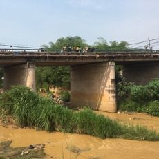
Kinsuka Bridge
Congo, Democratic Republic of the

Kinsuka Bridge

0.5 mi
Stade Omnisports de Kinkala
Congo

Stade Omnisports de Kinkala

30.5 mi
Léfini Faunal Reserve
Congo

Léfini Faunal Reserve

99.1 mi
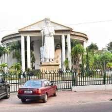
Statue de Pierre Savorgnan de Brazza
Congo

Statue de Pierre Savorgnan de Brazza

6.9 mi
Église Saint-Pierre-Claver
Congo

Église Saint-Pierre-Claver

4.6 mi
Stade de Djambala
Congo

Stade de Djambala

128.7 mi
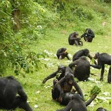
Bonobo Wildlife Station
Congo, Democratic Republic of the

Bonobo Wildlife Station

10.6 mi
Show the full map
Reviews
Share your experience

No review yet

Discussions
Start a discussion...

No discussion yet

« Lukunga River - River system in Ngaliema district, Kinshasa, Democratic Republic of the Congo » is provided by Around Us (aroundus.com). Images and texts are derived from Wikimedia project under a Creative Commons license. You are allowed to copy, distribute, and modify copies of this page, under the conditions set by the license, as long as this note is clearly visible.

Discover hidden gems everywhere you go!

From secret cafés to breathtaking viewpoints, skip the crowded tourist spots and find places that match your style. Our app makes it easy with voice search, smart filtering, route optimization, and insider tips from travelers worldwide. Download now for the complete mobile experience.
Around Us App Screenshot

A unique approach to discovering new places

Le Figaro

All the places worth exploring

France Info

A tailor-made excursion in just a few clicks

20 Minutes

Around Us
Travel Guide & Maps
Download

Send to your phone

QR Code
1

Open the camera app on your mobile.

2

Point at the QR code with your camera. A notification will appear.

3

Tap the notification to open the link.