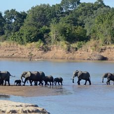
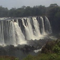
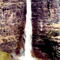
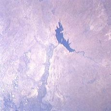
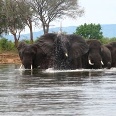
Congo Pedicle, Geographic territory in Haut-Katanga Province, Democratic Republic of the Congo.
The Congo Pedicle is a strip of territory belonging to the Democratic Republic of the Congo that extends deeply into Zambia, creating an unusual geographic protrusion from Haut-Katanga Province. This distinctive shape results from colonial-era boundary demarcations that left the area separated from the rest of the country.
The Congo Pedicle's borders were established in 1894 through negotiations between Belgian and British colonial authorities seeking to define their respective spheres of influence. This agreement created the distinctive shape that remains visible on maps today.
The territory previously belonged to the Yeke kingdom, established by M'Siri in 1870, which controlled trade routes connecting the Atlantic and Indian Oceans.
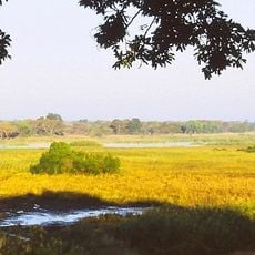
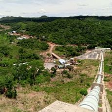
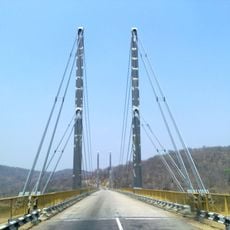
The main road through this territory serves as a key transportation link between Zambian provinces, though conditions vary depending on maintenance and local circumstances. Planning ahead and checking on current road conditions is wise before traveling through.
Several African capital cities are geographically closer to the eastern section of this territory than to Kinshasa, the nation's own capital. This unusual arrangement highlights just how separated this land corridor really is from the rest of the country.
The community of curious travelers
AroundUs brings together thousands of curated places, local tips, and hidden gems, enriched daily by 60,000 contributors worldwide.