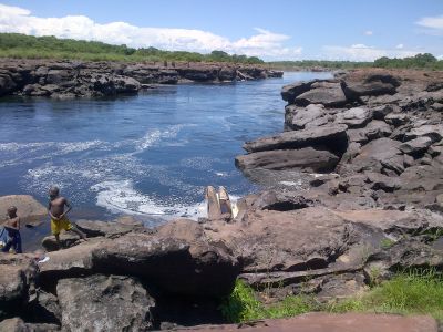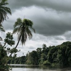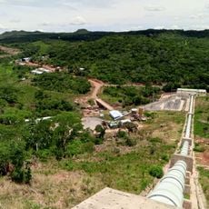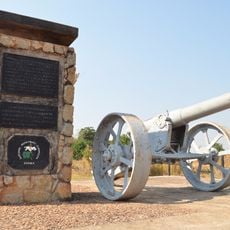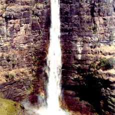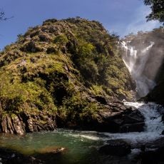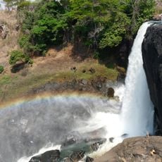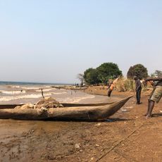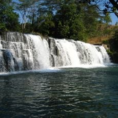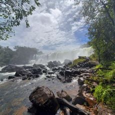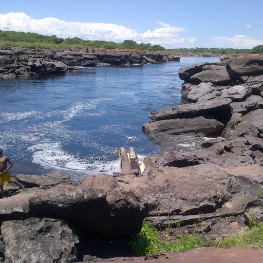
Mambilima Falls, Waterfall system on Luapula River between Democratic Republic of the Congo and Zambia.
Mambilima Falls is a series of rapids on the Luapula River, stretching along a 5-kilometre (3.1 mi) section of the river on the boundary between Zambia and the Democratic Republic of the Congo. The falls were formerly called Johnstone Falls. Below Lake Bangweulu, the Luapula flows south, turns west down the steep Mambatuta Falls, then meanders north to reach these rapids.
The falls were formerly called Johnstone Falls, the name used in colonial-era accounts. They lie on the Luapula where it forms the Zambia–DR Congo boundary, below the Mambatuta Falls and above the marshes at the southern end of Lake Mweru. The river reaches them after meandering north from Mambatuta.
Fishermen near the falls traditionally built dams, weirs and traps to take as many fish as possible before the flood water receded. Villages follow one another almost without a break from the rapids down to the southern end of Lake Mweru, where the Luapula opens into marshes, floodplains and lagoons.
The rapids lie on the Luapula where it leaves the Luapula valley and enters the marshes and lagoons at the southern end of Lake Mweru; villages run almost continuously from the falls to the lake, so the river can be followed on foot between settlements. The river approaches from the north after meandering up from the Mambatuta Falls.
The falls mark an ecological boundary: fish of Lake Mweru do not spawn south of the rapids, where Lake Bangweulu has a distinct ecology. The rapids were formerly called Johnstone Falls and run along a 5 km stretch of the Luapula.
The community of curious travelers
AroundUs brings together thousands of curated places, local tips, and hidden gems, enriched daily by 94,440 contributors worldwide.