Enable Location

We need your location to show you interesting places around you

Discover nearby places

Find interesting locations and hidden gems around you

Precise directions

Get accurate directions and distances to places

Your location is never shared with other users. It's only used when you tap the location button.

Mafinga Central

Log in to your account

Start exploring — it's free

Trusted by 62,610 travelers worldwide

Continue with Google
Continue with Apple
or

We will send you a code to connect

By continuing, you accept our Terms and Conditions and our Privacy Policy

Check your inbox

We've sent a pincode in your inbox. Please enter the code below.

Mafinga Central

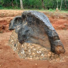
Mafinga Central, Mountain peak at the border of Zambia and Malawi

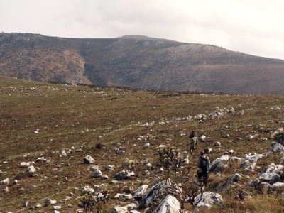
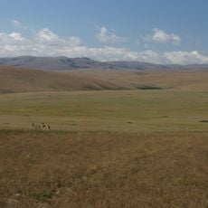
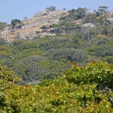
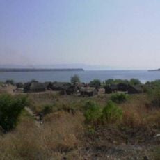
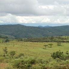
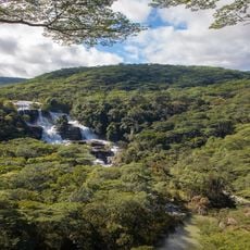
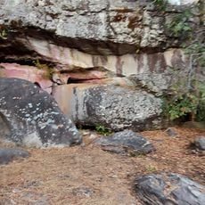
Mafinga Central is the highest point of the Mafinga Hills at the border between Zambia and Malawi, rising to approximately 2,339 meters (7,674 feet) above sea level. It forms part of a larger mountain range that straddles both countries and displays different terrain types from grassland to rocky slopes depending on elevation and seasonal conditions.

The peak remained largely unknown to the wider world until 2014 when an international team from the United Kingdom, Lithuania, and Malawi conducted the first detailed survey of its elevation. This expedition brought scientific documentation to a mountain that had been part of local knowledge but was not recorded in international geographic records.

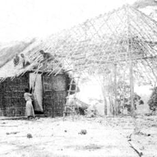
The mountain has long served as a landmark for people in the region who traditionally graze livestock and farm the surrounding lands. The landscape around the summit reflects this centuries-old relationship between communities and the terrain.

Reaching the base requires a four-wheel drive vehicle as roads can be difficult to navigate, especially during rainy seasons. The hike to the summit is physically demanding with exposure to changing weather conditions, so proper preparation and appropriate gear are important.

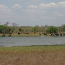
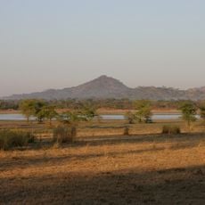
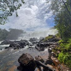
The summit marks the source of the Luangwa River, one of Zambia's major water courses that flows for hundreds of kilometers through the eastern region. This river sustains diverse wildlife and vegetation across multiple ecosystems along its path.

The community of curious travelers

AroundUs brings together thousands of curated places, local tips, and hidden gems, enriched daily by 60,000 contributors worldwide.

Start exploring
Elevation above the sea
2,339 m
GPS coordinates
-9.95269,33.35236
Latest update
December 12, 2025 07:53
« Mafinga Central - Mountain peak at the border of Zambia and Malawi » is provided by Around Us (aroundus.com). Images and texts are derived from Wikimedia project under a Creative Commons license. You are allowed to copy, distribute, and modify copies of this page, under the conditions set by the license, as long as this note is clearly visible.

Discover hidden gems everywhere you go!

From secret cafés to breathtaking viewpoints, skip the crowded tourist spots and find places that match your style. Our app makes it easy with voice search, smart filtering, route optimization, and insider tips from travelers worldwide. Download now for the complete mobile experience.

Around Us App Screenshot

A unique approach to discovering new places

Le Figaro

All the places worth exploring

France Info

A tailor-made excursion in just a few clicks

20 Minutes

Around Us
Travel Guide & Maps
Download

Send to your phone

QR Code
1

Open the camera app on your mobile.

2

Point at the QR code with your camera. A notification will appear.

3

Tap the notification to open the link.