Chest opened
+${chestReward.xp} XP
Explorer
NOUVEAU ×${chestReward.collectible.quantity}
tapez pour fermer

See the monuments around you in AR Open chests in the app

Around Us is built for your phone — point your camera at the streets and discover the monuments and places around you in augmented reality. Around Us is built for your phone — chests unlock when you walk, explore and capture nearby places.

Enable Location

We need your location to show you interesting places around you

Discover nearby places

Find interesting locations and hidden gems around you

Precise directions

Get accurate directions and distances to places

Your location is never shared with other users. It's only used when you tap the location button.

Log in to your account

Start exploring — it's free

Trusted by 86,149 travelers worldwide

Continue with Google
Continue with Apple
or

We will send you a code to connect

By continuing, you accept our Terms and Conditions and our Privacy Policy

Check your inbox

We've sent a pincode in your inbox. Please enter the code below.

Discussion Reviews Photo
12k Popularity

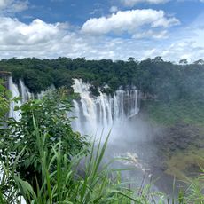
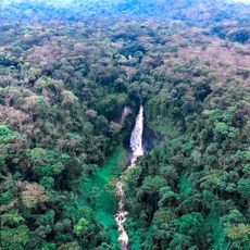
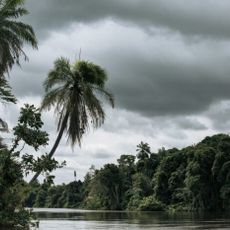
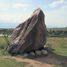
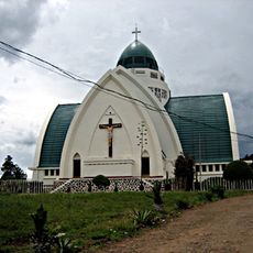
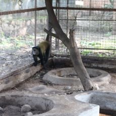
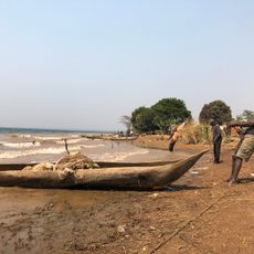
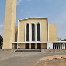
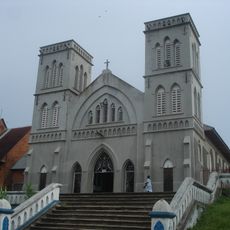
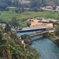
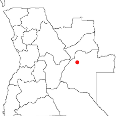
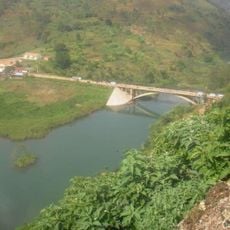
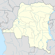
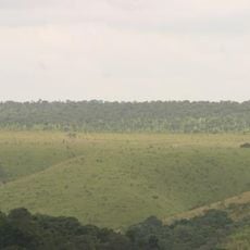
Central Kasai, Administrative division in central Democratic Republic of the Congo

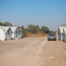
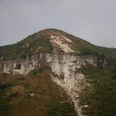
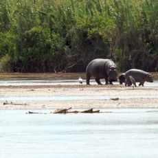
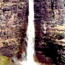
Central Kasai is an administrative region in the Democratic Republic of the Congo with Kananga as its capital and main administrative center. The territory is characterized by fertile lands where agriculture serves as the dominant economic activity.

This region was created in 2015 through an administrative reorganization of the Democratic Republic of the Congo. The restructuring followed the 2006 constitution, which divided the country into 26 provinces.

The Luba people form the majority here and shape daily life through their traditions visible in crafts, language, and social customs. Alongside them, smaller groups like the Pende and Kete maintain their own practices, enriching the region's cultural fabric.

Visitors should know the region is primarily agricultural and offers better conditions during the dry season. Kananga as the administrative center serves as the best base for exploring the area.

The region holds substantial diamond deposits that fuel mining operations and local employment. This industry plays a quiet but important role in the economic landscape, often going unnoticed by visitors.

The community of curious travelers

AroundUs brings together thousands of curated places, local tips, and hidden gems, enriched daily by 60,000 contributors worldwide.
Start exploring
GPS coordinates
-6.04942,22.27066
Latest update
September 12, 2026 20:16
Around this place
Gombe National Park
Tanzania

Gombe National Park

516 mi
Boyoma Falls
Congo, Democratic Republic of the

Boyoma Falls

495.9 mi
Salonga National Park
Congo, Democratic Republic of the

Salonga National Park

298.8 mi
Nsele Valley Park
Congo, Democratic Republic of the

Nsele Valley Park

474 mi
Kalandula Falls
Angola

Kalandula Falls

478.1 mi
Kahuzi-Biéga National Park
Congo, Democratic Republic of the

Kahuzi-Biéga National Park

477.7 mi
Upemba National Park
Congo, Democratic Republic of the

Upemba National Park

356.3 mi
Livingstone–Stanley Monument
Burundi

Livingstone–Stanley Monument

519.4 mi
Cangandala National Park
Angola

Cangandala National Park

464 mi
Congo, Democratic Republic of the

Upemba Depression

333.7 mi
Mont Mangengenge
Congo, Democratic Republic of the

Mont Mangengenge

477.9 mi
Rusizi National Park
Burundi

Rusizi National Park

517.5 mi
Lofoi Falls
Congo, Democratic Republic of the

Lofoi Falls

467.2 mi
Our Lady of Peace Cathedral, Bukavu
Congo, Democratic Republic of the

Our Lady of Peace Cathedral, Bukavu

516.4 mi
Living Museum of Bujumbura
Burundi

Living Museum of Bujumbura

521.8 mi
Domaine et réserve de Bombo-Lumene
Congo, Democratic Republic of the

Domaine et réserve de Bombo-Lumene

438.9 mi
Regina Mundi Cathedral
Burundi

Regina Mundi Cathedral

522.3 mi
Lake Nzilo
Congo, Democratic Republic of the

Lake Nzilo

387.7 mi
Stade Lumumba
Congo, Democratic Republic of the

Stade Lumumba

497.1 mi
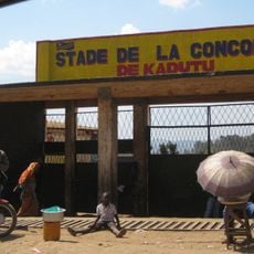
Stade de la Concorde
Congo, Democratic Republic of the

Stade de la Concorde

515.4 mi
Our Lady of the Rosary Cathedral, Kisangani
Congo, Democratic Republic of the

Our Lady of the Rosary Cathedral, Kisangani

496.4 mi
Pont Ruzizi I
Congo, Democratic Republic of the

Pont Ruzizi I

518.8 mi
Karipande
Angola

Karipande

480.7 mi
Stade des Jeunes
Congo, Democratic Republic of the

Stade des Jeunes

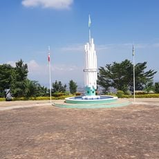
13.2 mi
Pont Ruzizi II
Congo, Democratic Republic of the

Pont Ruzizi II

516.5 mi
Our Lady of the Assumption Cathedral, Saurimo
Angola

Our Lady of the Assumption Cathedral, Saurimo

280.6 mi
Kisangani
Congo, Democratic Republic of the

Kisangani

498.8 mi
Monument de l'Unité Nationale
Burundi

Monument de l'Unité Nationale

523.9 mi
Show the full map
Reviews
Share your experience

No review yet

Discussions
Start a discussion...

No discussion yet

« Central Kasai - Administrative division in central Democratic Republic of the Congo » is provided by Around Us (aroundus.com). Images and texts are derived from Wikimedia project under a Creative Commons license. You are allowed to copy, distribute, and modify copies of this page, under the conditions set by the license, as long as this note is clearly visible.

Discover hidden gems everywhere you go!

From secret cafés to breathtaking viewpoints, skip the crowded tourist spots and find places that match your style. Our app makes it easy with voice search, smart filtering, route optimization, and insider tips from travelers worldwide. Download now for the complete mobile experience.
Around Us App Screenshot

A unique approach to discovering new places

Le Figaro

All the places worth exploring

France Info

A tailor-made excursion in just a few clicks

20 Minutes

Around Us
Travel Guide & Maps
Download

Send to your phone

QR Code
1

Open the camera app on your mobile.

2

Point at the QR code with your camera. A notification will appear.

3

Tap the notification to open the link.