Zahamena National Park, National park in eastern Alaotra-Mangoro region, Madagascar
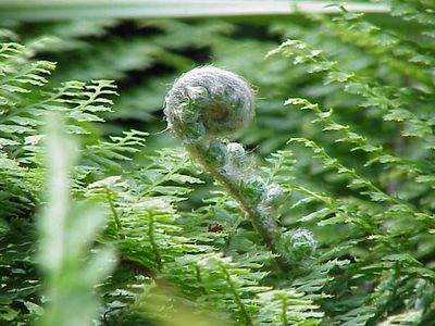
Zahamena National Park is a protected area in the eastern Alaotra-Mangoro region with dense forests, waterfalls, and mountainous terrain. The landscape varies from lower valleys to higher elevations with different types of woodland.
The area was first set up as a nature reserve in 1927 and became a national park in 1997. It gained World Heritage status in 2007 because of its ecological importance.
The Betsimisaraka and Sihanaka communities live near the park's edges and take part in conservation work together. Their daily connection to the forest shapes how people in this region interact with nature.
Visitors need a four-wheel drive vehicle to reach the park since the roads are unpaved and muddy during wet weather. The best time to visit is during the dry months when the roads are more passable and hiking is easier.
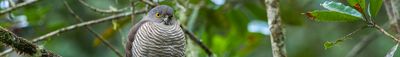
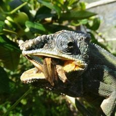
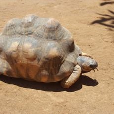
The park is home to more than a dozen lemur species, most found nowhere else in the world. These rare animals are the result of millions of years of isolation on the island of Madagascar.
The community of curious travelers
AroundUs brings together thousands of curated places, local tips, and hidden gems, enriched daily by 60,000 contributors worldwide.