Enable Location

We need your location to show you interesting places around you

Discover nearby places

Find interesting locations and hidden gems around you

Precise directions

Get accurate directions and distances to places

Your location is never shared with other users. It's only used when you tap the location button.

Ambohimanga

Log in to your account

Start exploring — it's free

Trusted by 61,661 travelers worldwide

Continue with Google
Continue with Apple
or

We will send you a code to connect

By continuing, you accept our Terms and Conditions and our Privacy Policy

Check your inbox

We've sent a pincode in your inbox. Please enter the code below.

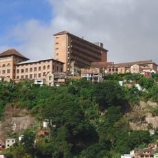
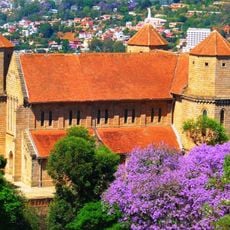
Ambohimanga, Royal archaeological site in Antananarivo Province, Madagascar

Description

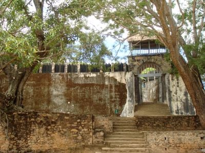
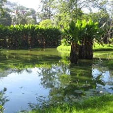
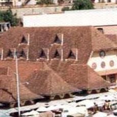
Ambohimanga is a royal hilltop settlement in Antananarivo Province featuring fortified walls, multiple gates, and royal structures built at about 1,468 meters in elevation. The complex contains palaces, ceremonial grounds, and a man-made sacred lake that served as the spiritual center of the kingdom.

History

The Merina kingdom established this site as their spiritual center in the 16th century, using its elevated position to oversee surrounding territories. It remained the sacred seat of royal power for generations until the kingdom's transformation in later centuries.

Culture

The site holds deep spiritual significance for local communities who perform ancestral ceremonies and rituals here regularly. Families come to honor their forebears through offerings and gatherings that connect them to their roots and identity.

Practical

The site is located roughly 20 kilometers north of Antananarivo and can be reached by a road leading to the top. Visitors should wear sturdy footwear and follow local protocols, especially in the sacred areas.

Did you know?

The main entrance is guarded by a massive wooden gate from the 17th century that closes without modern fasteners, showcasing traditional craftsmanship. This gate has been maintained for centuries and demonstrates the sturdy construction methods of that era.

Elevation above the sea
1,468 m
GPS coordinates
-18.75006,47.55002
Latest update
December 6, 2025 16:02

AroundUs brings together thousands of curated places, local tips, and hidden gems, enriched daily by 60,000 contributors worldwide. Discover all places nearby (Antananarivo Province).

Madagascar photography: baobabs, Tsingy, national parks

Madagascar features natural landscapes ranging from the baobab avenues near Morondava to the limestone formations of the Tsingy and coastal areas with coral reefs. The country's national parks protect tropical rainforests inhabited by lemurs, along with geological features including crater lakes and...

« Ambohimanga - Royal archaeological site in Antananarivo Province, Madagascar » is provided by Around Us (aroundus.com). Images and texts are derived from Wikimedia project under a Creative Commons license. You are allowed to copy, distribute, and modify copies of this page, under the conditions set by the license, as long as this note is clearly visible.

Discover hidden gems everywhere you go!

From secret cafés to breathtaking viewpoints, skip the crowded tourist spots and find places that match your style. Our app makes it easy with voice search, smart filtering, route optimization, and insider tips from travelers worldwide. Download now for the complete mobile experience.

Around Us App Screenshot

A unique approach to discovering new places

Le Figaro

All the places worth exploring

France Info

A tailor-made excursion in just a few clicks

20 Minutes

Around Us
Travel Guide & Maps
Download

Send to your phone

QR Code
1

Open the camera app on your mobile.

2

Point at the QR code with your camera. A notification will appear.

3

Tap the notification to open the link.